Introduction
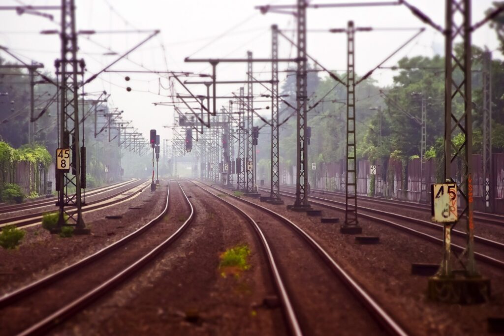
India’s vast railway network, spanning over 68,000 km, is the lifeline of the nation. However, maintaining and expanding this colossal infrastructure requires cutting-edge solutions. Enter drone railway surveys—a revolutionary approach that is reshaping how Indian Railways plans, monitors, and upgrades its tracks. Garud Survey, a pioneer in aerial and geospatial intelligence, is leading this transformation with state-of-the-art drone technology, delivering unmatched accuracy, speed, and safety.
The Limitations of Traditional Railway Surveys
For decades, railway inspections relied on manual methods—engineers walking the tracks, using handheld devices, or deploying manned aircraft. These approaches had significant drawbacks:
Time-Consuming: Covering thousands of kilometers took weeks or months.
High Risk: Inspecting bridges, tunnels, and electrified tracks posed safety hazards.
Inconsistent Data: Human errors and environmental factors affected accuracy.
Costly Operations: Helicopter surveys and ground teams required massive budgets.
Drones eliminate these challenges, offering a faster, safer, and more economical alternative.
How Drones Are Revolutionizing Railway Surveys in India
1. Rapid & Detailed Inspections
Equipped with 4K cameras, LiDAR, and thermal sensors, drones capture high-resolution images and 3D models of railway tracks, bridges, and stations in minutes. This data helps identify:
Track misalignments
Cracked sleepers or rails
Corrosion in overhead wires
Landslide-prone zones
2. Smart Maintenance with AI & Machine Learning
Garud Survey integrates AI-powered analytics to detect defects automatically. Predictive algorithms alert authorities before minor issues escalate, preventing delays and accidents.
3. Land Acquisition & Expansion Projects
Before laying new tracks or doubling existing ones, drones provide:
Digital terrain models (DTMs)
Boundary demarcation
Encroachment detection
This speeds up land acquisition while reducing legal disputes.
4. Disaster Response & Recovery
In cases of train derailments, floods, or bridge collapses, drones provide real-time aerial assessments, helping rescue teams and engineers act swiftly.
5. Green & Sustainable Rail Development
Drones monitor vegetation overgrowth along tracks, reducing fire risks and ensuring clear pathways. They also assess environmental impact for eco-friendly rail projects.
Garud Survey: Your Trusted Partner in Drone Railway Surveys
With DGCA-certified pilots and advanced UAV fleets, Garud Survey delivers:
✅ High-Accuracy Mapping – Sub-centimeter precision for rail corridor modeling.
✅ AI-Driven Insights – Automated defect detection for proactive maintenance.
✅ Regulatory Compliance – Full adherence to aviation and railway safety norms.
✅ End-to-End Solutions – From initial surveys to progress monitoring and final inspections.
The Future: Drones & the Digital Rail Revolution
As Indian Railways embraces Kavach (anti-collision system), Vande Bharat Express, and bullet train projects, drones will play a crucial role in:
Hyperloop & High-Speed Rail – Precision alignment surveys for futuristic transport.
Automated Track Monitoring – AI drones for 24/7 surveillance.
Smart Stations & Logistics Hubs – 3D mapping for better urban rail integration.
Conclusion
The era of drone railway surveys in India has arrived, bringing unprecedented efficiency, safety, and cost savings. Garud Survey is at the forefront of this revolution, empowering Indian Railways with data-driven decision-making for a smarter, faster, and more reliable future.
Ready to elevate your rail projects with drone technology?
Contact Garud Survey today for a consultation!