Introduction
In today’s fast-paced world, businesses and industries are constantly seeking innovative solutions to improve efficiency, accuracy, and cost-effectiveness. One such groundbreaking technology is drone mapping, which has transformed traditional surveying methods. At Garud Survey, we leverage cutting-edge drone technology to provide precise, high-resolution aerial mapping for various industries, including construction, agriculture, mining, and urban planning.
What is Drone Mapping?
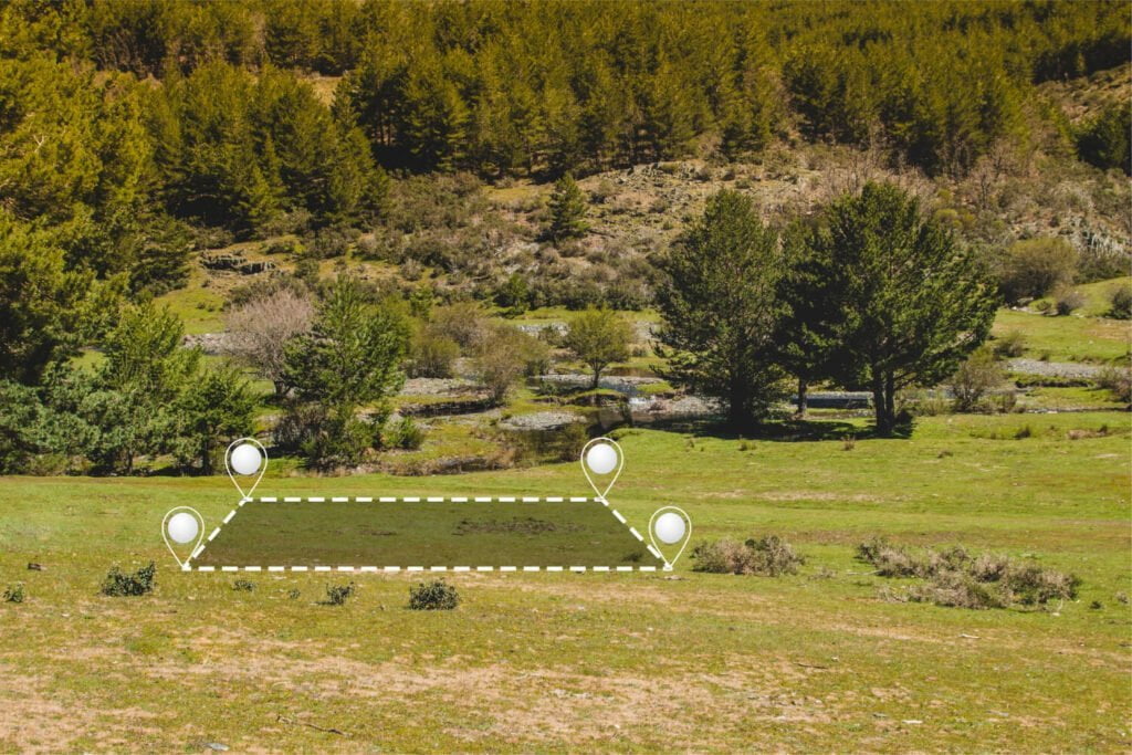
Drone mapping, also known as aerial surveying, involves using unmanned aerial vehicles (UAVs) equipped with advanced cameras, LiDAR (Light Detection and Ranging), and GPS technology to capture high-resolution images and geospatial data from the sky. These images are then processed using specialized software to create detailed 2D maps, 3D models, and topographic surveys.
Key Benefits of Drone Mapping
High Accuracy & Precision
Drones capture data with centimeter-level accuracy, ensuring reliable measurements for land surveys, construction sites, and infrastructure projects.
Time & Cost Efficiency
Traditional land surveys can take days or weeks, whereas drones complete the same task in a fraction of the time, reducing labor and operational costs.
Enhanced Safety
Drones eliminate the need for surveyors to access hazardous or hard-to-reach areas, minimizing risks in environments like mines, construction sites, and disaster zones.
Real-Time Data & Analytics
With advanced software, drone mapping provides instant insights, enabling businesses to make informed decisions quickly.
Versatility Across Industries
From agriculture (crop monitoring) to urban planning (3D city modeling), drone mapping serves multiple sectors with unmatched efficiency.
Applications of Drone Mapping by Garud Survey
At Garud Survey, we specialize in delivering tailored drone mapping solutions to meet diverse industry needs:
1. Construction & Infrastructure Development
Site planning and progress monitoring
Volume calculations for earthworks
As-built surveys for quality control
2. Agriculture & Precision Farming
Crop health assessment using NDVI (Normalized Difference Vegetation Index)
Irrigation planning and soil analysis
Yield prediction and pest control
3. Mining & Quarry Management
Stockpile volume measurement
Terrain modeling for excavation planning
Environmental impact assessments
4. Urban Planning & Smart Cities
3D modeling for city development
Land use and zoning analysis
Disaster management and flood mapping
5. Environmental & Forestry Surveys
Wildlife habitat monitoring
Deforestation analysis
Coastal erosion studies
Why Choose Garud Survey for Drone Mapping?
As a leader in aerial surveying and geospatial solutions, Garud Survey stands out for:
✔ State-of-the-Art Technology – We use the latest drones, LiDAR, and photogrammetry software for unmatched accuracy.
✔ Expert Team – Our certified pilots and surveyors ensure professional, compliant, and high-quality results.
✔ Custom Solutions – We tailor our services to meet specific project requirements, whether for small farms or large-scale infrastructure.
✔ Fast Turnaround – With efficient data processing, we deliver actionable insights in record time.
✔ Regulatory Compliance – We adhere to all aviation and surveying regulations, ensuring legal and safe operations.
Conclusion
Drone mapping is no longer the future—it’s the present. Businesses that adopt this technology gain a competitive edge through faster, safer, and more cost-effective surveying solutions. At Garud Survey, we are committed to helping industries harness the power of drone mapping for smarter decision-making and sustainable growth.
Contact Garud Survey today to explore how our drone mapping services can elevate your projects with precision and efficiency!