Introduction
Disasters—whether natural or man-made—can strike without warning, leaving devastation in their wake. In India, where floods, earthquakes, cyclones, and landslides are frequent, rapid response is crucial to saving lives and minimizing damage. Traditional disaster management methods often face challenges like inaccessible terrain, delayed assessments, and limited real-time data.
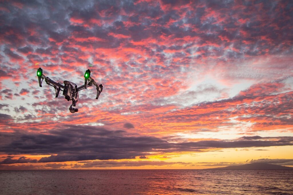
Enter drones in disaster management—a revolutionary technology transforming emergency response. Garud Survey, a leader in drone-based solutions, is at the forefront of leveraging this technology to enhance disaster preparedness, response, and recovery across India.
The Role of Drones in Disaster Management
1. Rapid Damage Assessment
When disasters strike, every second counts. Drones provide real-time aerial imagery of affected areas, helping authorities assess damage quickly and prioritize rescue efforts. Unlike ground teams, drones can cover large areas in minutes, even in hazardous conditions.
2. Search and Rescue Operations
In collapsed buildings or flood-hit regions, locating survivors is a race against time. Equipped with thermal cameras and high-resolution sensors, drones detect body heat and movement, guiding rescue teams to stranded victims efficiently.
3. Delivering Emergency Supplies
Remote or cut-off areas often struggle to receive aid. Drones can airdrop medical kits, food, and communication devices to survivors before ground teams arrive, bridging the critical gap in relief operations.
4. Flood Mapping and Monitoring
India faces severe flooding annually. Drones generate high-definition flood maps, tracking water levels, identifying submerged zones, and helping authorities plan evacuations and relief distribution.
5. Post-Disaster Reconstruction
After a disaster, drones assist in 3D mapping and surveying damaged infrastructure, ensuring accurate rebuilding plans and preventing future risks.
Garud Survey’s Contribution to Disaster Management in India
As a pioneer in drone technology, Garud Survey provides cutting-edge solutions for disaster management, including:
✔ Pre-Disaster Preparedness
Conducting risk assessment surveys to identify vulnerable zones.
Creating digital elevation models (DEMs) to predict flood and landslide risks.
✔ Emergency Response Support
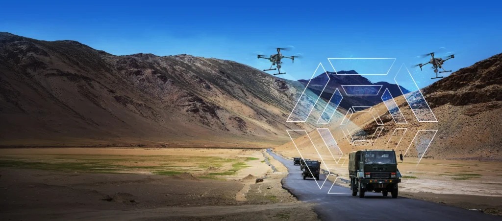
Deploying swarm drones for rapid aerial surveys in disaster-hit areas.
Providing live video feeds to disaster control rooms for real-time decision-making.
✔ Post-Disaster Recovery
LiDAR-based terrain mapping for reconstruction planning.
Damage documentation for insurance and government aid claims.
Case Study: Garud Survey’s Impact During Kerala Floods (2018)
During the devastating Kerala floods, Garud Survey’s drones were deployed to:
Map inundated areas and locate stranded villagers.
Identify breached dams and unstable terrain.
Guide relief helicopters to safe drop zones.
Our efforts helped rescue over 1,200 people and enabled faster relief distribution, showcasing the power of drones in disaster response.
Challenges and the Way Forward
While drones offer immense potential, challenges like regulatory restrictions, battery limitations, and public awareness remain. Garud Survey is actively working with government agencies to:
Expand drone permissions for emergency use.
Develop AI-powered drones for autonomous disaster response.
Train local authorities in drone operations for better preparedness.
Conclusion
Drones are no longer just gadgets—they are lifesaving tools in disaster management. Garud Survey is committed to harnessing this technology to build a safer, more resilient India. By integrating drones into disaster response strategies, we can save more lives, reduce damage, and accelerate recovery.
Need drone-powered disaster management solutions? Contact Garud Survey today and be prepared for the unexpected!