Introduction
Disasters, whether natural or man-made, can strike without warning, leaving devastation in their wake. In India, where floods, earthquakes, cyclones, and landslides are frequent, efficient disaster management is crucial. Traditional methods often fall short due to logistical challenges and time constraints. However, drones have emerged as a game-changing technology in disaster response and recovery. Garud Survey, a leader in drone-based solutions, is at the forefront of leveraging this technology to save lives and enhance disaster management in India.
The Role of Drones in Disaster Management
Drones, or Unmanned Aerial Vehicles (UAVs), provide real-time aerial data, enabling faster and more effective disaster response. Here’s how drones are revolutionizing disaster management in India:
1. Rapid Damage Assessment
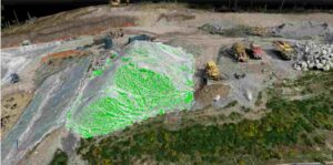
After a disaster, assessing damage quickly is critical. Drones equipped with high-resolution cameras and LiDAR sensors can survey affected areas in minutes, providing authorities with accurate data to prioritize rescue operations.
2. Search and Rescue Operations
In scenarios like earthquakes or floods, locating survivors is a race against time. Thermal imaging drones can detect human heat signatures, even in debris or dense forests, significantly improving rescue efficiency.
3. Delivering Emergency Supplies
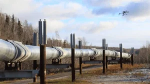
Drones can transport medical supplies, food, and communication devices to isolated areas where roads are blocked. Companies like Garud Survey are developing payload-carrying drones to support relief efforts in hard-to-reach regions.
4. Flood and Landslide Monitoring
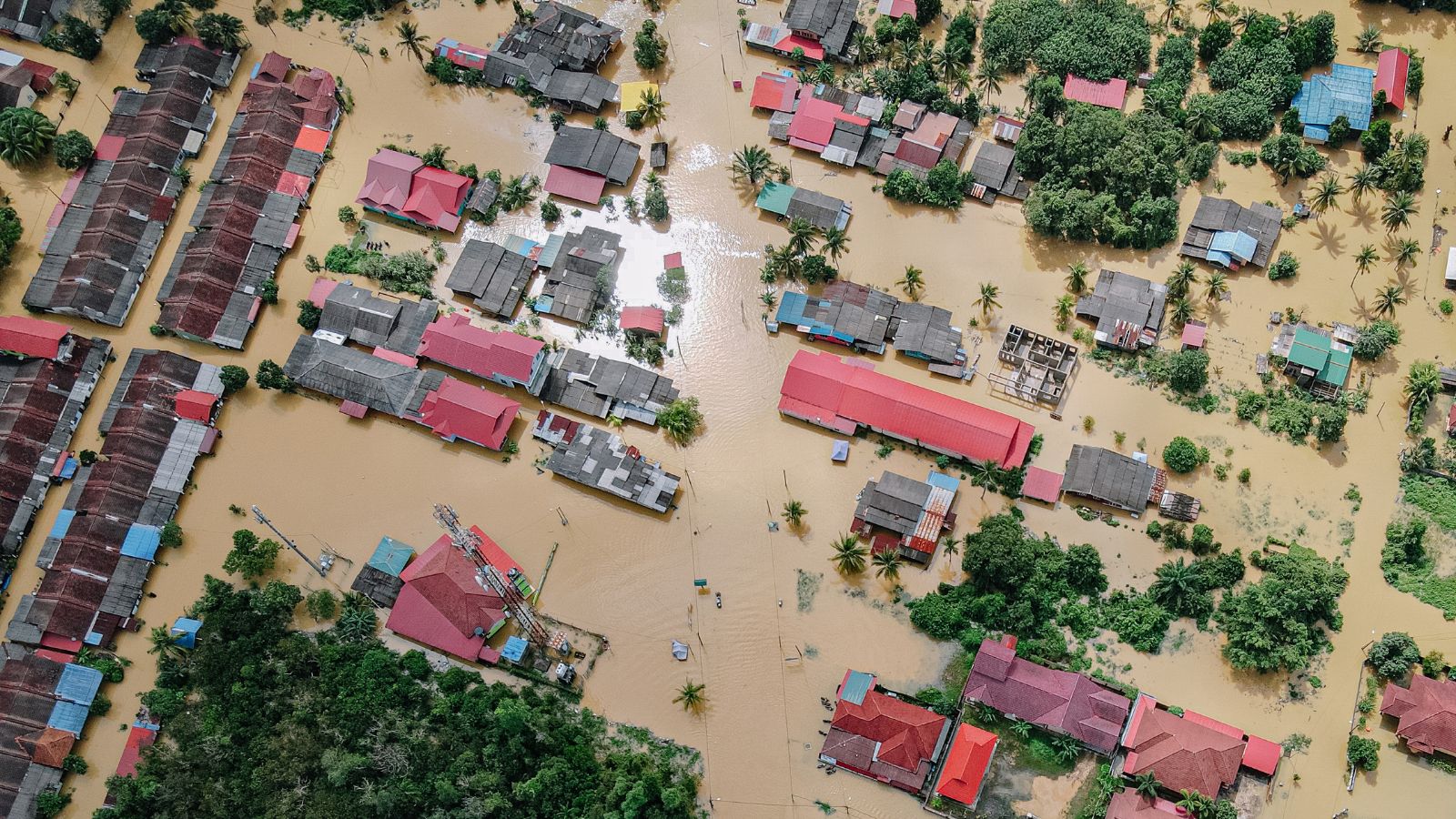
During floods, drones can map water levels, identify breach points in embankments, and predict further flooding. Similarly, in landslide-prone areas, drones help monitor soil erosion and unstable slopes, enabling preemptive evacuations.
5. Post-Disaster Reconstruction Planning
After a disaster, drones assist in creating 3D maps of damaged infrastructure, helping governments and NGOs plan reconstruction effectively.
Case Studies: Drones in Action
– Kerala Floods (2018 & 2019)
Drones were extensively used to map flood-affected zones, locate stranded individuals, and assess infrastructure damage. Garud Survey contributed by providing real-time aerial data to disaster response teams.
– Uttarakhand Flash Floods (2021 & 2021)
In rugged terrains where helicopters faced limitations, drones played a crucial role in locating survivors and delivering essential supplies.
– Cyclone Amphan (2020)
West Bengal utilized drones to assess cyclone damage, speeding up relief distribution and rehabilitation efforts.
Challenges and the Way Forward
Despite their benefits, drone adoption in disaster management faces challenges:
Regulatory Hurdles: Strict drone regulations in India can delay deployment during emergencies.
Limited Awareness: Many disaster management agencies are still unfamiliar with drone capabilities.
Battery Life and Payload Limitations: Current drone technology needs advancements for longer missions.
Garud Survey is addressing these challenges by collaborating with government bodies, conducting training programs, and developing advanced drones with extended flight times and enhanced payload capacities.
Conclusion
Drones are transforming disaster management in India by enabling faster, safer, and more efficient responses. As technology evolves, their role will only expand, making them indispensable in saving lives and rebuilding communities. Garud Survey remains committed to pioneering drone-based solutions, ensuring India is better prepared for future disasters.
By integrating drones into disaster management strategies, India can mitigate risks, enhance preparedness, and build a more resilient future.