Introduction
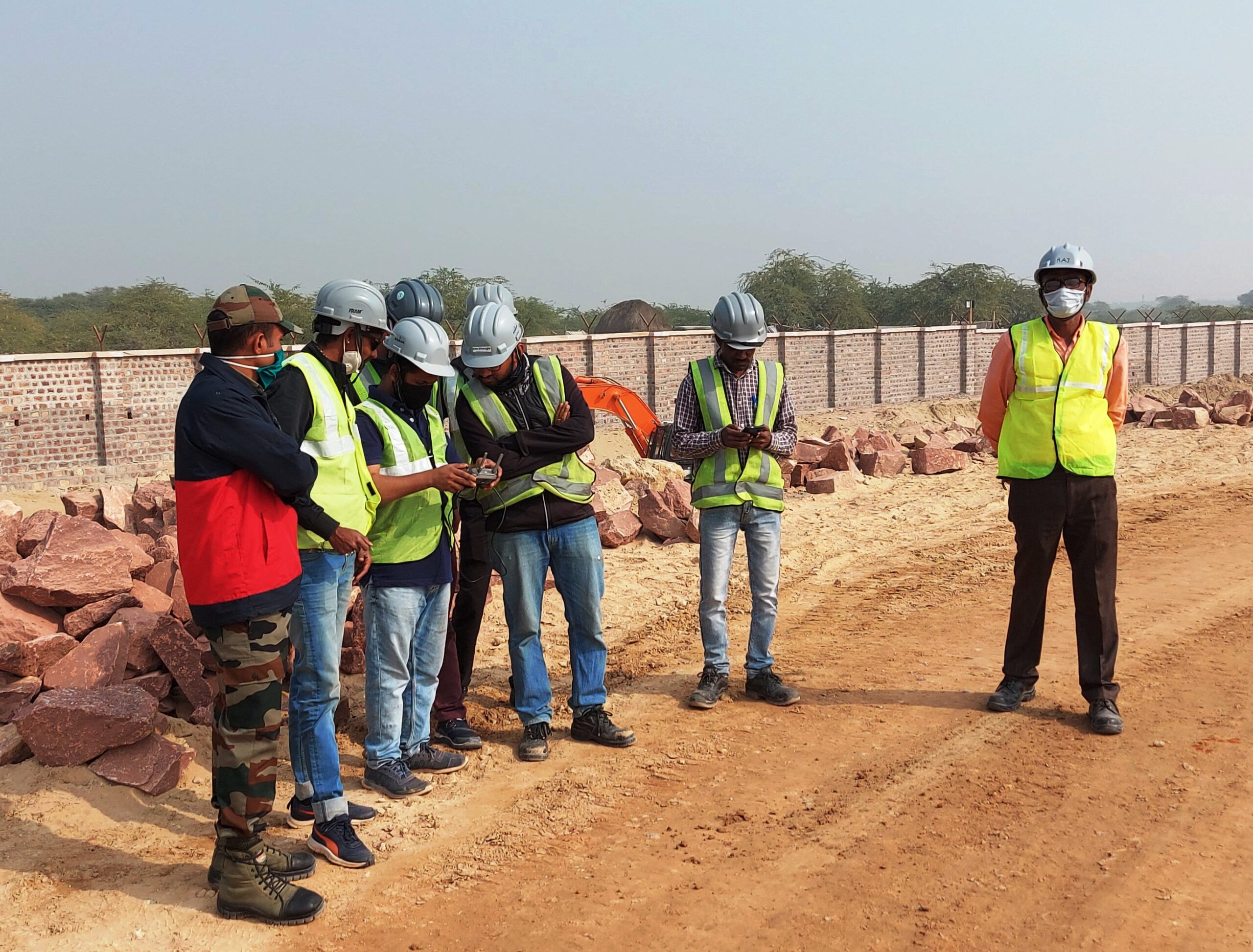
Bangalore, a hub of rapid urbanization and technological advancement, demands precise and efficient land surveying solutions. Traditional methods, while reliable, often fall short in speed, accuracy, and cost-effectiveness. Enter drone surveying—a game-changing technology that Garud Survey leverages to provide unmatched aerial mapping and geospatial data solutions across Bangalore.
The Power of Drone Surveying in Modern Bangalore
1. Unmatched Precision with Advanced Technology
Modern drones are equipped with high-resolution cameras, LiDAR sensors, and RTK-GPS, ensuring centimeter-level accuracy in topographic mapping, 3D modeling, and volumetric calculations. This eliminates human error and delivers reliable data for critical decision-making.
2. Rapid Data Collection for Faster Project Execution
Drones can survey hundreds of acres in a single flight, drastically reducing the time required compared to traditional methods. What once took weeks can now be completed in just a few hours, accelerating project timelines in construction, infrastructure, and agriculture.
3. Cost-Effective & Efficient
By minimizing manpower, equipment, and fieldwork, drone surveys cut costs by up to 50% while improving data quality. Garud Survey offers competitive pricing, making high-end surveying accessible to businesses of all sizes.
4. Safe & Versatile Data Capture
Drones can access difficult terrains, hazardous sites, and tall structures without risking human safety. Whether it’s a construction site, mining area, or disaster zone, drones provide real-time insights without physical risks.
5. AI-Powered Analytics for Smarter Decisions
Beyond just imagery, drone data integrates with AI and machine learning to provide:
✔ Automated terrain analysis
✔ Change detection over time
✔ Predictive modeling for urban planning
Key Applications of Drone Surveying in Bangalore
1. Construction & Real Estate Development
Site planning & design validation
Progress monitoring & compliance checks
Stockpile volume measurements
2. Infrastructure & Smart City Projects
Road & highway alignment surveys
Drainage & utility mapping
Urban expansion planning
3. Agriculture & Land Management
Crop health assessment (NDVI mapping)
Soil erosion & irrigation planning
Land parcel demarcation for disputes
4. Mining & Quarry Operations
Precise volume calculations
Slope stability analysis
Environmental impact assessments
5. Environmental & Disaster Management
Forest conservation monitoring
Flood & landslide risk assessment
Post-disaster damage evaluation
Why Choose Garud Survey for Drone Survey in Bangalore?
✅ Cutting-Edge Drone Fleet – Equipped with multi-spectral, thermal, and LiDAR sensors for diverse applications.
✅ Certified & Experienced Team – Licensed drone pilots, GIS experts, and survey professionals.
✅ Customized Reporting – Tailored deliverables, including orthomosaics, DTMs, and 3D models.
✅ Quick Turnaround – From data capture to analysis, we ensure fast and accurate results.
✅ Transparent Pricing – No hidden costs—just high-quality surveys at competitive rates.
Conclusion
As Bangalore continues to grow, the need for fast, accurate, and cost-efficient land surveys becomes more critical. Garud Survey is at the forefront of this revolution, offering state-of-the-art drone surveying services that redefine precision and efficiency.
Whether you’re in construction, agriculture, mining, or urban planning, our drone-based solutions provide the data clarity you need to succeed.
Contact Garud Survey today and elevate your project with Bangalore’s leading drone survey experts!


