ntroduction to Modern Surveying in the Pink City
Jaipur’s rapid urbanization and infrastructure development demand precise, efficient land surveying solutions. Traditional methods using manual measurements and ground equipment are increasingly being replaced by cutting-edge drone survey in Jaipur – a faster, safer and more accurate alternative. Garud Survey, Jaipur’s premier drone surveying company, is transforming how architects, builders, and government agencies capture geospatial data across Rajasthan.
Why Choose Drone Surveys Over Conventional Methods?
1. Unparalleled Speed and Efficiency
Cover 50+ acres in a single flight versus weeks of manual work
Complete complex topographic surveys in hours instead of days
Ideal for tight project deadlines in Jaipur’s booming construction sector
2. Centimeter-Level Accuracy
High-resolution cameras capture 1-2 cm ground resolution
Advanced LiDAR sensors penetrate vegetation for true ground mapping
Generate precise contour lines, elevation models, and volumetric calculations
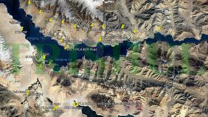
3. Access Challenging Jaipur Terrains
Safely map Aravalli hill slopes and dense urban areas
Survey construction sites without work stoppages
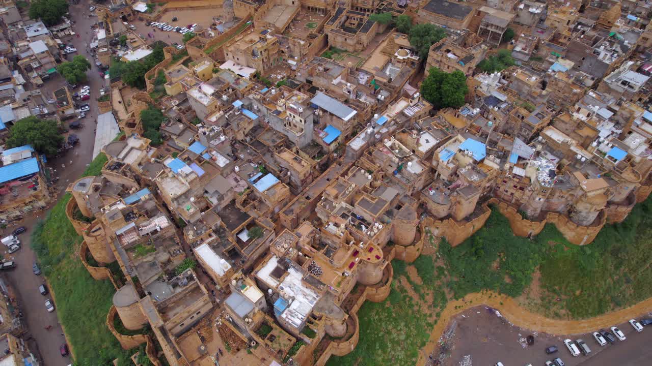
Document heritage structures without physical contact
4. Cost-Effective Solution
Reduce manpower costs by 60-70%
Eliminate expensive equipment rentals
Minimize return visits with comprehensive first-pass data
Garud Survey’s Specialized Drone Services in Jaipur
✔ Urban Planning & Smart City Development
3D city modeling for JDA projects
Property tax assessment mapping
Road network planning surveys
✔ Construction & Infrastructure
Pre-construction site analysis
Progress monitoring with time-lapse surveys
As-built documentation for compliance
✔ Mining & Quarry Management
Monthly stockpile volume calculations
Slope stability monitoring
Lease boundary demarcation
✔ Agricultural Land Surveys
Farm boundary disputes resolution
Irrigation planning surveys
Soil erosion analysis
Case Study: Transforming a Jaipur Township Project
A major real estate developer needed 200 acres of topographic mapping for a new township near Jamdoli. Traditional surveyors quoted 45 days and ₹8 lakhs. Garud Survey completed the work in 3 days at 60% cost savings, delivering:
1 cm accuracy digital terrain model
Automated contour generation
Identification of 3 potential drainage issues before construction began
The Future of Land Surveying in Jaipur
As Rajasthan pushes digital transformation, drone surveys are becoming mandatory for:
RERA-approved project documentation
Smart City Mission initiatives
GIS-based urban planning
Garud Survey stays ahead with:
DGCA-certified drone pilots
Advanced photogrammetry software
AI-powered data processing
Why Jaipur Chooses Garud Survey?
✅ Local expertise with 150+ Jaipur projects completed
✅ Fastest turnaround time in Rajasthan
✅ Regulatory compliance for all drone operations
✅ Custom solutions for every budget
Conclusion
For architects, builders, and government agencies in Jaipur, drone survey technology offers an unbeatable combination of speed, accuracy and cost-efficiency. Garud Survey brings this revolutionary approach to Rajasthan with proven expertise and cutting-edge equipment.
Ready to map your Jaipur project with millimeter precision? Contact Garud Survey today for a free consultation!