Skip to content
Garud Survey
  • Home
  • About Us
  • Application
    • Minor Mineral Drone Survey Rajasthan
    • Mining Survey
    • Construction Survey
    • Agriculture Survey
    • Solar Industry Survey
    • Powerline Monitoring
    • Bridge & Road Inspection
    • Forest & Wildlife Survey
    • Disaster Management
    • Railway Survey
    • Industrial Inspection
    • Smart City Survey
    • Pipeline Inspection
    • River Mapping and Services
    • Lidar Survey
    • Drone Magnetic Survey
  • Solutions
    • Drone Data Process
    • Pilots on Project
  • Blog
  • Contact Us
    • Fly With Us
Menu
  • Home
  • About Us
  • Application
    • Minor Mineral Drone Survey Rajasthan
    • Mining Survey
    • Construction Survey
    • Agriculture Survey
    • Solar Industry Survey
    • Powerline Monitoring
    • Bridge & Road Inspection
    • Forest & Wildlife Survey
    • Disaster Management
    • Railway Survey
    • Industrial Inspection
    • Smart City Survey
    • Pipeline Inspection
    • River Mapping and Services
    • Lidar Survey
    • Drone Magnetic Survey
  • Solutions
    • Drone Data Process
    • Pilots on Project
  • Blog
  • Contact Us
    • Fly With Us
Read more about the article UAV Aerial Surveying: Revolutionizing Data Collection from Above

UAV Aerial Surveying: Revolutionizing Data Collection from Above

  • Post author:Garud Survey
  • Post published:April 25, 2024
  • Post category:Drone Survey
  • Post comments:0 Comments

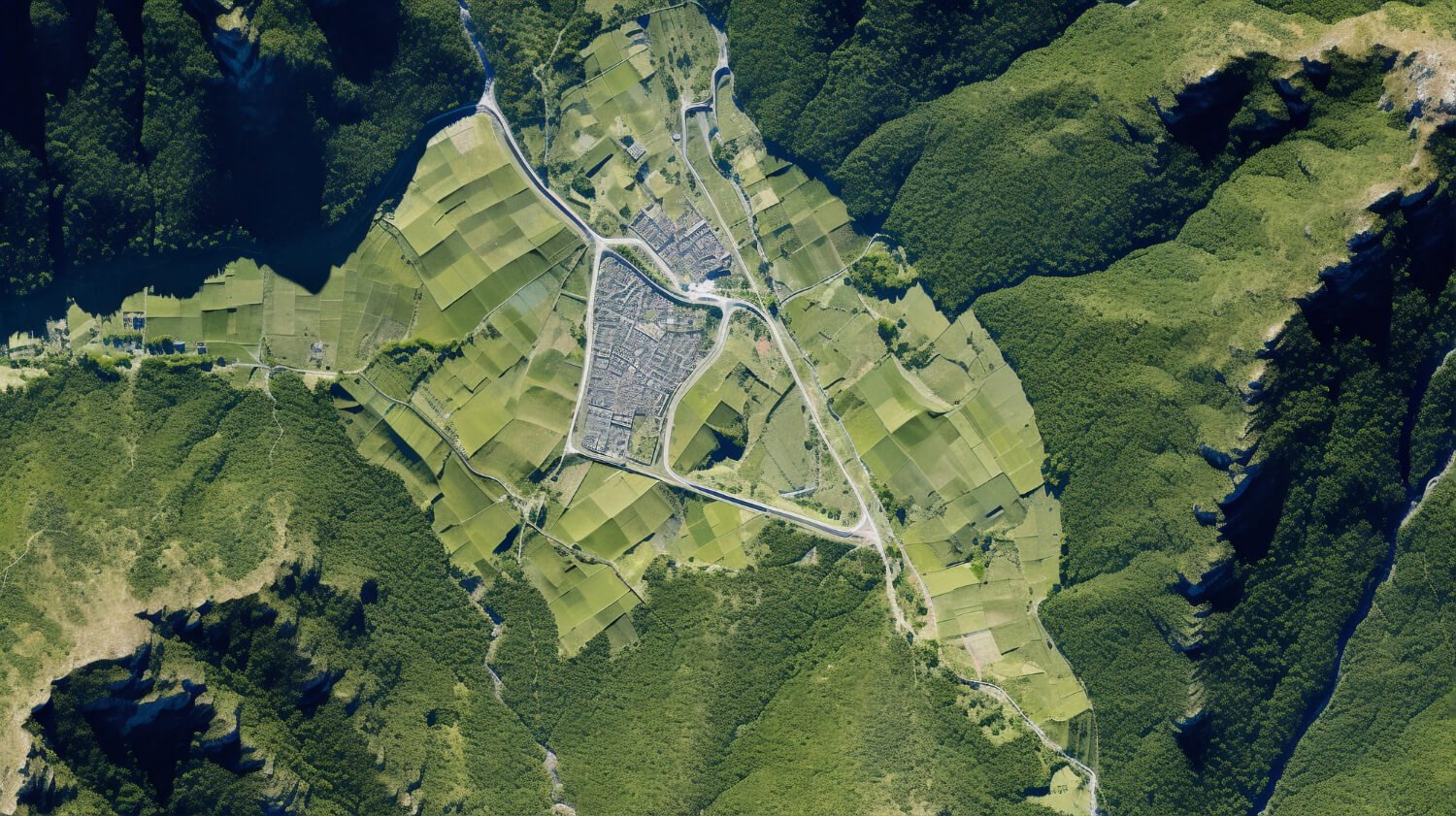
Introduction to UAV Aerial Surveying Unmanned Aerial Vehicles (UAVs), commonly known as drones, have transformed numerous industries with their ability to efficiently collect data from the sky. UAV aerial surveying…

Continue ReadingUAV Aerial Surveying: Revolutionizing Data Collection from Above

Recent Posts

  • Why Groundwater Survey Technology Is Critical for Rajasthan and Karnataka’s Water Future
  • How Drone-Based Thermal Inspections Can Significantly Improve Solar Park Efficiency
  • Drone Mapping in India: Advanced Geospatial Solutions by Garud Survey Private Limited
  • Drone Topographic Survey in India: Accurate Land Mapping Solutions by Garud Survey Private Limited
  • A Trusted Aerial Survey Company in India Transforming UAV Aerial Surveying

Recent Comments

No comments to show.
Download Brochure
+91-7733911999
+91-7230911999
info@garudsurvey.com
Head Office
108 MIIC, Jawahar Lal Nehru Marg, near MNIT Campus, Jaipur, Rajasthan 302017
Registered Office
F-11, Panwar Tower Government Press Road Near Junagadh, Fort, Bikaner, Rajasthan 334001
Udaipur Office

Anand Plaza, 25-B, Near Ayad Bridge, Udaipur, Rajasthan 313001

Bengaluru Office

88, ShareSpace, Borewell Rd, near Whitefield post office, Whitefield, Palm Meadows, Bengaluru, Karnataka 560066

About Us

We are the most reliable “drone survey company”. our drone survey enable you to make a better decision with high resolution aerial data
Facebook Instagram Twitter Linkedin Whatsapp Youtube

Quick Links

  • Home
  • About Us
  • Drone Data Process
  • Fly With Us
  • Contact Us
  • Privacy Policy
Menu
  • Home
  • About Us
  • Drone Data Process
  • Fly With Us
  • Contact Us
  • Privacy Policy

Application

  • Minor Mineral Drone Survey Rajasthan
  • Mining Survey
  • Construction Survey
  • Solar Industry Survey
  • Powerline Monitoring
  • Bridge & Road Inspection
  • Forest & Wildlife Survey
Menu
  • Minor Mineral Drone Survey Rajasthan
  • Mining Survey
  • Construction Survey
  • Solar Industry Survey
  • Powerline Monitoring
  • Bridge & Road Inspection
  • Forest & Wildlife Survey
  • Underground Mining Survey
  • Disaster Management
  • Railway Survey
  • Industrial Inspection
  • Smart City Survey
  • Pipeline Inspection
  • River Mapping and Services
  • Drone Magnetic Survey
Menu
  • Underground Mining Survey
  • Disaster Management
  • Railway Survey
  • Industrial Inspection
  • Smart City Survey
  • Pipeline Inspection
  • River Mapping and Services
  • Drone Magnetic Survey
© Copyright © 2024-25 Garud Survey Certified. All Rights Reserved.
Powered By Shanu Technologies
× How can we help you?