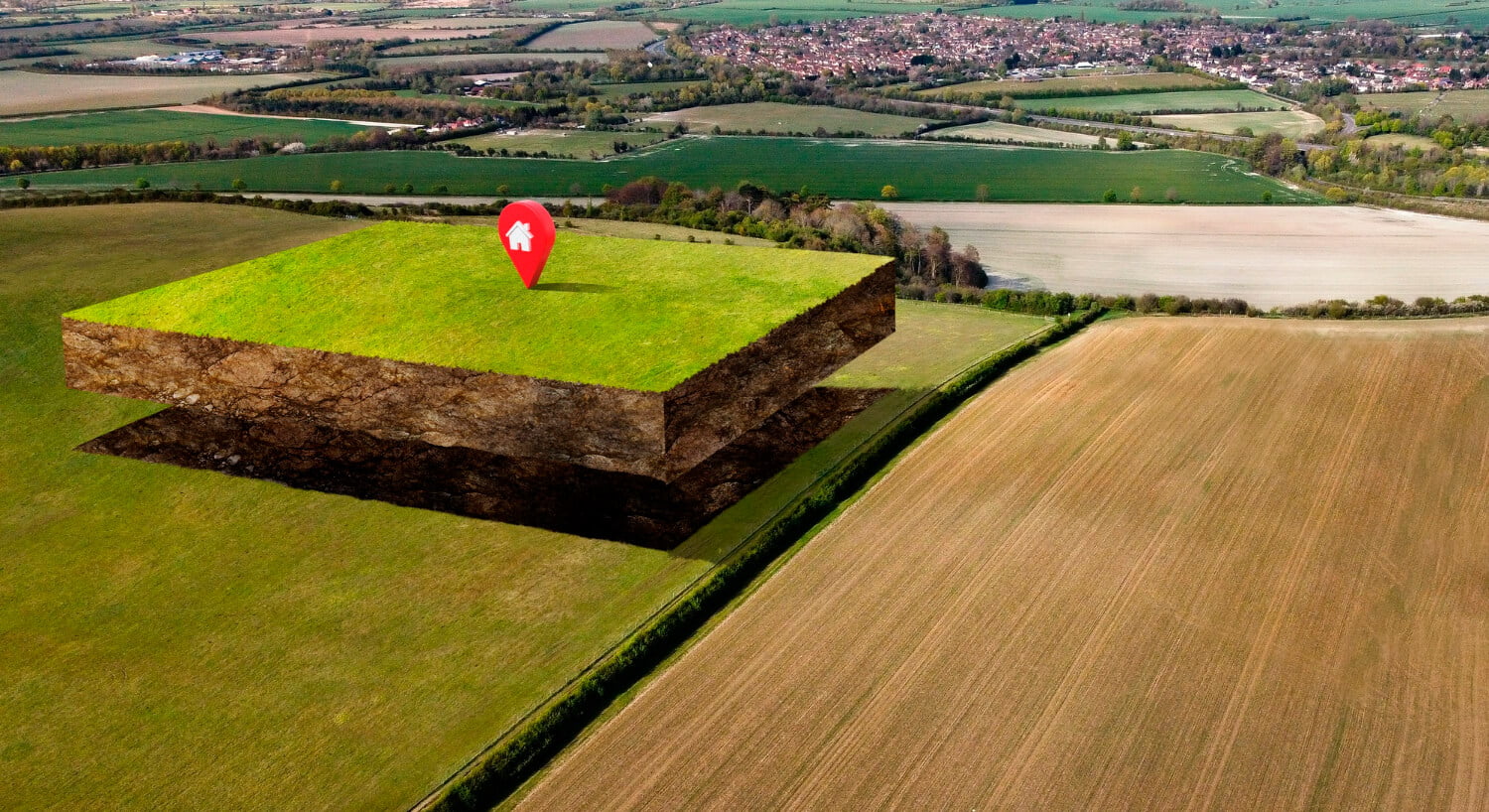
In the realm of land surveying, the integration of cutting-edge technology has revolutionized traditional methods, paving the way for unprecedented efficiency, accuracy, and cost-effectiveness. One such technological marvel making waves in the industry is the utilization of drones. In this comprehensive guide, we delve into the realm of drones for land surveying and spotlight the prowess of Garud Survey in harnessing this transformative tool.
Understanding the Impact of Drones in Land Surveying
Gone are the days when land surveying relied solely on manual measurements and tedious processes. With the advent of drone technology, surveying has undergone a paradigm shift, offering myriad benefits that were once unimaginable. Drones, equipped with advanced sensors and imaging capabilities, have redefined the way we collect, analyze, and interpret spatial data.
Unparalleled Precision and Efficiency
One of the standout features of drones in land surveying is their ability to deliver unparalleled precision and efficiency. Unlike traditional methods that often entail time-consuming manual measurements, drones equipped with high-resolution cameras and LiDAR (Light Detection and Ranging) technology can swiftly capture detailed imagery and topographical data with remarkable accuracy.
Cost-Effectiveness and Time Savings
In addition to precision, drones offer significant cost savings and time efficiencies. By automating the data collection process and minimizing the need for ground-based surveying crews, drone surveys drastically reduce project timelines and operational costs. Moreover, the swift turnaround time for data processing translates to expedited decision-making and project completion.
Enhanced Safety and Accessibility
Safety is paramount in any surveying endeavor, and drones play a pivotal role in enhancing safety protocols. By eliminating the need for personnel to traverse challenging terrain or hazardous environments, drone surveys mitigate risks and ensure the well-being of surveying teams. Furthermore, drones enable access to remote or inaccessible areas, expanding the scope of surveying projects without compromising safety or quality.
Garud Survey: Setting the Standard in Drone-Based Surveying
Amidst the burgeoning landscape of drone surveying providers, Garud Survey stands out as a trailblazer, renowned for its commitment to excellence and innovation. Leveraging state-of-the-art drone technology and a team of seasoned professionals, Garud Survey delivers comprehensive surveying solutions tailored to the unique needs of each client.
Tailored Solutions for Every Project
At Garud Survey, we understand that every project comes with its own set of challenges and requirements. That’s why we offer bespoke surveying solutions designed to address the specific objectives and constraints of each endeavor. Whether it’s mapping vast expanses of land, monitoring construction sites, or conducting environmental assessments, our drone-based surveys are meticulously tailored to deliver actionable insights and informed decision-making.
Unrivaled Expertise and Innovation
What sets Garud Survey apart is our unwavering commitment to innovation and expertise. Our team comprises seasoned professionals with extensive experience in surveying, remote sensing, and GIS (Geographic Information Systems). By staying at the forefront of technological advancements and industry best practices, we ensure that our clients receive the highest caliber of service and the most accurate data insights.
Empowering Industries Across the Spectrum
From urban planning and infrastructure development to agriculture and environmental conservation, Garud Survey’s drone-based surveying services empower industries across the spectrum. By providing comprehensive spatial data solutions, we enable our clients to make informed decisions, optimize resource allocation, and drive sustainable growth.
Conclusion: Embracing the Future of Land Surveying with Garud Survey
In conclusion, the integration of drones in land surveying represents a transformative leap forward, offering unmatched precision, efficiency, and safety. As a pioneer in the field, Garud Survey continues to spearhead innovation and set the standard for excellence in drone-based surveying. By harnessing the power of cutting-edge technology and unparalleled expertise, Garud Survey remains at the forefront of shaping the future of land surveying, one aerial perspective at a time.


