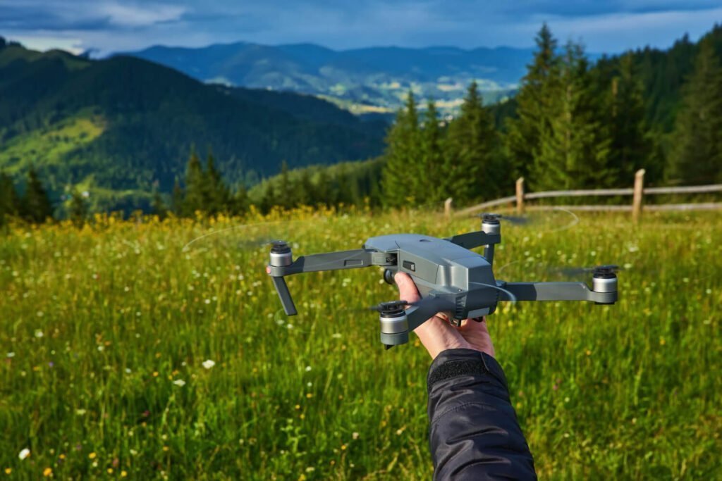
In the realm of environmental conservation, the integration of technological advancements has sparked a remarkable transformation. One such innovation taking center stage is drone technology, which has proven to be a game-changer in the realms of forestry management and wildlife conservation. Drones, with their aerial capabilities and advanced imaging systems, have emerged as a powerful tool, revolutionizing the way we monitor, manage, and protect our forests and wildlife.
Forests, often referred to as the lungs of the Earth, play a pivotal role in maintaining ecological balance and biodiversity. However, the challenges faced in monitoring and managing vast forested areas have traditionally been formidable. Enter drones: these unmanned aerial vehicles equipped with specialized cameras, LiDAR (Light Detection and Ranging) systems, and infrared sensors have enabled a comprehensive and efficient approach to forest monitoring.
One of the primary contributions of drone technology in forestry lies in its ability to conduct precise and rapid surveys. Drones equipped with high-resolution cameras capture detailed images and videos, allowing forest managers to assess the health, density, and composition of trees over large areas with unprecedented accuracy. This detailed data assists in identifying diseased or stressed vegetation, tracking changes in forest cover, and monitoring the impact of natural disasters such as wildfires or deforestation.
The integration of LiDAR survey technology in drones further enhances their capabilities. LiDAR systems generate precise 3D maps by emitting laser pulses and measuring the time taken for these pulses to return after hitting objects. This technology enables the creation of highly detailed models of forest terrain, facilitating accurate calculations of tree height, biomass estimation, and even identifying subtle variations in the forest landscape. Such data is invaluable for informed decision-making in forest management and conservation efforts.
Moreover, drones equipped with thermal and infrared sensors have proven instrumental in wildlife conservation. These sensors can detect heat signatures, allowing researchers and conservationists to monitor animal populations, track their movements, and identify species at risk. This capability has significantly contributed to wildlife conservation efforts, especially for endangered species, by providing critical insights into their habitats and behaviors without causing disturbances.
The advantages of using drones in forestry and wildlife management extend beyond data collection. The cost-effectiveness and efficiency of drone surveys are unparalleled. Traditional ground-based surveys or manned aerial missions often require substantial resources and time. In contrast, drones can cover vast areas swiftly and with minimal human intervention, reducing both time and expenses while increasing the frequency and accuracy of data collection.
Furthermore, the non-intrusive nature of drone surveys minimizes disturbance to ecosystems. Unlike ground-based studies that may disrupt habitats or aerial missions that involve noise pollution, drones operate quietly and at higher altitudes, minimizing their impact on wildlife and vegetation.
The application of artificial intelligence (AI) and machine learning algorithms further amplifies the potential of drone-collected data. These technologies assist in analyzing vast datasets, enabling automated identification of species, detection of illegal logging activities, and prediction of potential environmental threats. By harnessing these capabilities, conservationists can make informed decisions promptly and implement proactive measures to protect our natural resources.
Despite the numerous benefits, challenges exist in the widespread adoption of drone technology for forestry and wildlife conservation. Regulatory frameworks, privacy concerns, and technical limitations in remote areas are among the hurdles that need to be addressed. Collaborative efforts involving government bodies, research institutions, and technology developers are crucial to overcoming these obstacles and maximizing the potential of drone-based surveys in conservation initiatives.
Conclusion
The integration of drone technology in forestry and wildlife conservation represents a paradigm shift in environmental monitoring and management. The ability of drones to provide detailed, real-time data in a cost-effective, non-intrusive manner has significantly enhanced our capacity to safeguard precious ecosystems and biodiversity. As technology continues to evolve, the synergy between innovation and conservation efforts promises a brighter future for our planet’s forests and wildlife.