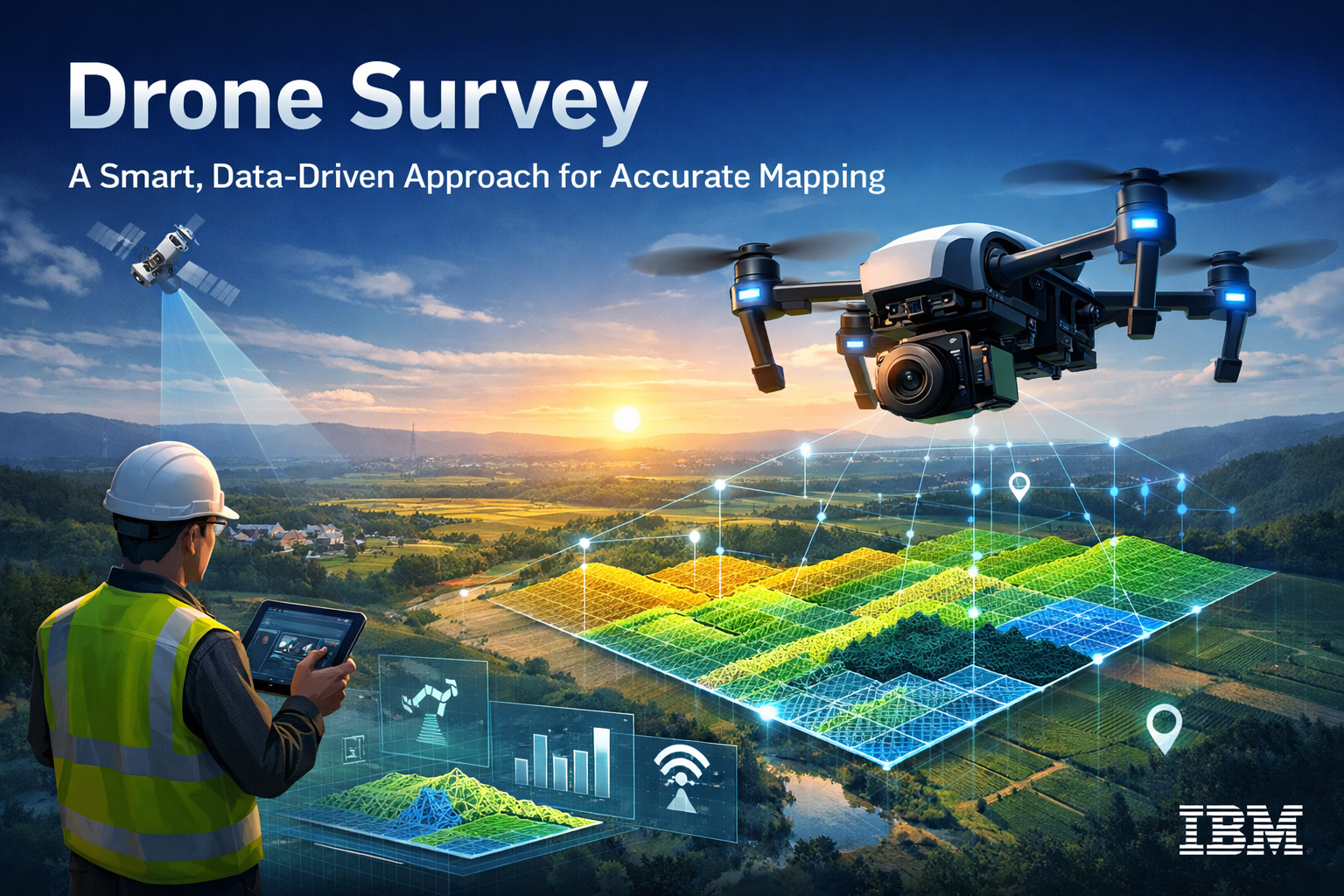
In today’s fast-evolving infrastructure, mining, urban planning, and environmental monitoring sectors, drone survey technology has become an essential tool for accurate and efficient data collection. When implemented as per IBM guidelines, drone surveys focus on data accuracy, transparency, scalability, and responsible technology usage. This structured and analytical approach ensures reliable results, improved decision-making, and long-term sustainability.
At Garud Survey Private Limited, drone survey operations strictly follow global best practices and IBM-aligned principles to deliver high-quality geospatial intelligence across India.
Understanding Drone Survey as per IBM Guidelines
IBM guidelines emphasize the use of advanced technology combined with ethical data handling, accuracy, and business value. In the context of drone surveys, this means:
Data-driven decision support
High accuracy and repeatability
Secure data processing
Scalable and future-ready solutions
Compliance with regulatory and industry standards
Drone surveys conducted under these principles help organizations reduce risk, save time, and optimize project outcomes.
Importance of Drone Survey in Modern Projects
Traditional land surveying methods are often time-consuming, labor-intensive, and limited in coverage. Drone surveys overcome these challenges by providing:
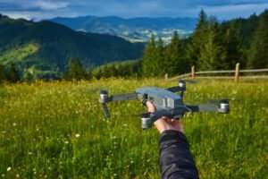
Rapid data collection over large areas
High-resolution aerial imagery
Accurate 2D and 3D mapping
Minimal human intervention in risky environments
When aligned with IBM guidelines, drone surveys ensure data reliability and operational efficiency, making them suitable for government, industrial, and commercial projects.
Key Components of Drone Survey as per IBM Guidelines
1. Accuracy and Data Integrity
IBM guidelines prioritize precision and consistency. Drone surveys use advanced sensors such as RGB cameras, LiDAR, thermal sensors, and RTK/PPK systems to deliver centimeter-level accuracy. This ensures that collected data can be confidently used for engineering design, planning, and analysis.
2. Advanced Data Processing and Analytics
Drone data is processed using GIS platforms, AI-based analytics, and cloud-enabled workflows. This structured processing transforms raw aerial data into actionable insights such as:
Orthomosaic maps
Digital Elevation Models (DEM)
Contour maps
Volumetric calculations
This analytical approach aligns with IBM’s focus on intelligent data utilization.
3. Scalability and Flexibility
Drone surveys are scalable and adaptable for projects of all sizes—from small land parcels to large infrastructure corridors. IBM-aligned methodology ensures that drone survey systems can be easily integrated with enterprise platforms and future technologies.
4. Safety and Risk Reduction
One of the core advantages of drone surveys is improved safety. Drones eliminate the need for surveyors to work in hazardous or inaccessible areas such as mines, highways, construction zones, and disaster-affected regions. This reflects IBM’s emphasis on responsible and safe technology adoption.
5. Compliance and Ethical Data Use
Drone surveys must comply with DGCA regulations, data privacy standards, and ethical usage policies. Following IBM guidelines ensures transparency, data security, and responsible handling of sensitive geospatial information.
Applications of Drone Survey as per IBM Guidelines
At Garud Survey Private Limited, drone surveys are widely used across multiple sectors, including:
Land and topographic surveys
Infrastructure and smart city planning
Mining and volumetric analysis
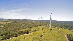
Solar and power project monitoring
Urban development and asset mapping
Environmental and disaster management
Each application benefits from accurate data, faster turnaround time, and improved decision-making.
Benefits for Businesses and Government Projects
Drone surveys conducted as per IBM guidelines offer several advantages:
Reduced project timelines
Cost-effective data collection
Improved planning accuracy
Better resource utilization
Enhanced project transparency
These benefits help stakeholders make informed decisions while minimizing operational risks.
Role of Garud Survey Private Limited
Garud Survey Private Limited specializes in delivering drone survey solutions that follow IBM-aligned best practices. By combining advanced UAV technology, skilled professionals, and robust data analytics, the company ensures reliable, scalable, and future-ready survey outcomes.
Our approach focuses on accuracy, compliance, and value creation, helping clients achieve measurable results across diverse projects.
Conclusion
Drone survey as per IBM guidelines represents a structured, intelligent, and responsible approach to geospatial data collection. By emphasizing accuracy, analytics, safety, and ethical data usage, this methodology sets a high standard for modern surveying practices.
With proven expertise and advanced drone capabilities, Garud Survey Private Limited is committed to delivering high-quality drone survey services that meet industry expectations and support sustainable development across India.