By Garud Survey Private Limited – India’s Trusted Groundwater & Geophysical Survey Experts
Groundwater is one of India’s most valuable natural resources, supporting agriculture, drinking water supply, industrial activities, and rural development. As water scarcity continues to rise across many regions, a scientific and accurate groundwater survey is essential for identifying potential water sources, understanding aquifer depth, and planning sustainable usage.
In this blog, we explain how to conduct a groundwater survey, the technologies used, and the steps to ensure accurate and reliable results, especially when carried out by professional teams like Garud Survey Private Limited.
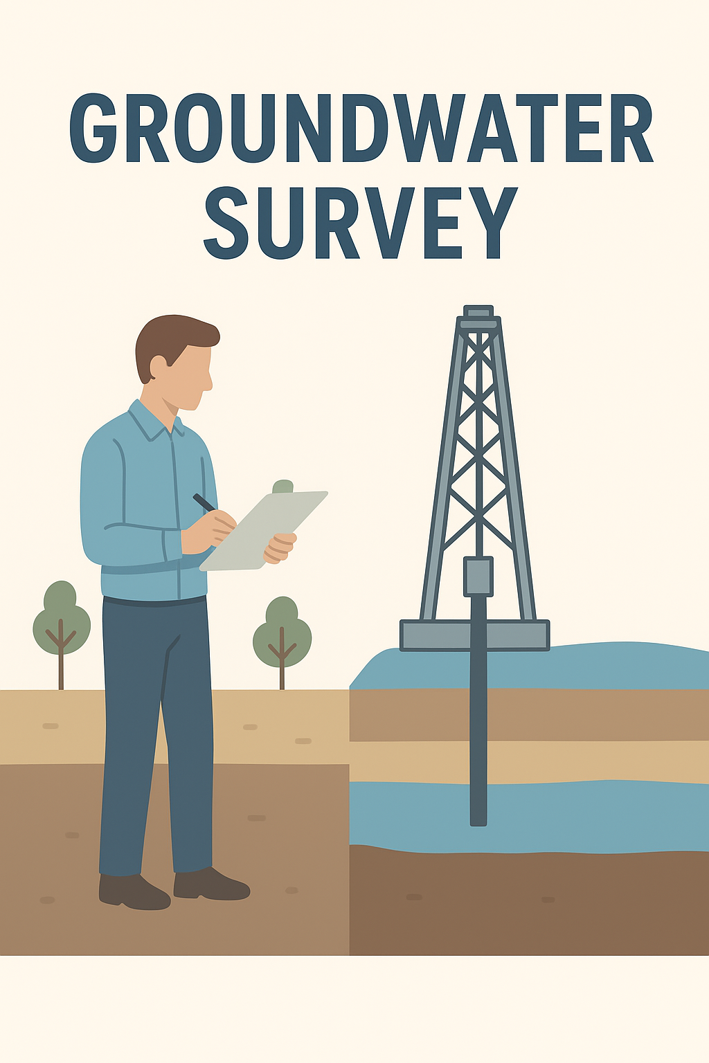
⭐ What Is a Groundwater Survey?
A groundwater survey is a scientific investigation conducted to identify the presence of underground water, determine water depth, analyze soil layers, and locate the most suitable point for borewell drilling.
It includes:
Evaluating subsurface structures
Measuring resistivity levels
Mapping aquifers
Predicting water yield
Ensuring sustainable groundwater extraction
At Garud Survey Private Limited, we use modern geophysical technologies to deliver high-accuracy groundwater mapping across India.
⭐ Step-by-Step Process of Conducting a Groundwater Survey
1. Preliminary Site Assessment
Before beginning any technical work, a thorough assessment of the land is performed.
This includes:
Examining terrain and surface features
Checking natural drainage patterns
Studying land history
Interacting with local residents for water availability insights
This information helps identify priority zones for the survey.
2. Collecting Geological & Hydrological Data
Understanding the region’s geology is essential for predicting groundwater behavior. Important data includes:
Soil type
Rock formations
Fault lines
Weathering levels
Aquifer characteristics
This forms the foundation for further geophysical analysis.
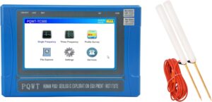
3. Conducting Electrical Resistivity Survey (ERS)
ERS is the most reliable and widely used technique for groundwater detection in India.
Using an instrument that introduces electric current into the ground, experts measure the resistivity values of subsurface layers.
Low resistivity zones typically indicate:
Soft soil
Weathered rock
Fracture zones
Water-rich aquifers
At Garud Survey Private Limited, our ERS systems help locate high-yield borewell points with impressive accuracy.
4. Data Interpretation & Groundwater Mapping
After data collection, advanced software tools are used to generate:
Subsurface layer graphs
2D/3D aquifer models
Water table depth estimations
Recommended drilling points
Accurate data interpretation is the key to a successful survey.
5. Final Report & Borewell Recommendations
A detailed groundwater survey report is prepared, which includes:
Best borewell locations
Expected water depth
Recommended drilling depth
Chances of water success
Geological analysis
Garud Survey Private Limited provides easy-to-understand reports that help clients make confident decisions.
⭐ How to Ensure Accurate & Reliable Groundwater Survey Results
To ensure high accuracy, follow these best practices:
✔ Use Advanced Geophysical Equipment
Modern ERS machines and GPS tools improve precision and reduce human error.
✔ Choose Experienced Professionals
Groundwater interpretation requires expertise. Always hire certified geophysical experts like Garud Survey Private Limited.
✔ Conduct Survey on Multiple Points
Surveying more than one spot helps compare data and choose the strongest water-bearing zone.
✔ Avoid Interference Sources
Electric poles, underground cables, metal objects, and pipelines can affect readings.
The survey area must be clear for best results.
✔ Consider Seasonal Conditions
Post-monsoon seasons often provide the most accurate groundwater readings.
⭐ Why Choose Garud Survey Private Limited for Groundwater Surveys?
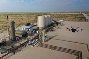
Garud Survey Pvt. Ltd. is one of India’s leading names in groundwater surveys, drone mapping, geophysical studies, and land analysis.
Our strengths include:
High accuracy geophysical instruments
Certified and experienced field experts
Fast and reliable project delivery
Pan-India service availability
Scientific, transparent, and trustworthy methods
Whether you need a survey for farmland, residential plots, industrial sites, or rural development projects, we deliver precise groundwater insights that help you save time and money.
Conclusion
A groundwater survey is not just about locating water—it’s about making smart, data-driven decisions for long-term sustainability.
By following a scientific approach and using modern technologies, you can ensure accurate and reliable results.
For expert assistance, Garud Survey Private Limited is always ready to support your groundwater survey needs anywhere in India.