In the realm of land surveying, the advent of drone technology has ushered in a transformative era. Traditionally, surveying involved meticulous groundwork, labor-intensive measurements, and time-consuming processes. However, with the integration of drones, this age-old practice has undergone a remarkable evolution, promising unparalleled accuracy, efficiency, and versatility.
Evolution of Surveying: Embracing Technological Innovations
Land surveying, an age-old profession, has significantly evolved over the years. Initially relying on rudimentary tools like chains, compasses, and theodolites, surveyors meticulously mapped out terrain for construction drone inspection, infrastructure development, and land assessment. The introduction of GPS technology marked a significant leap forward, enhancing precision and reducing manual errors. Yet, it was the arrival of drones that truly revolutionized the industry.
The Role of Drones in Surveying
Drones, or unmanned aerial vehicles (UAVs), equipped with advanced cameras, sensors, and GPS systems, have emerged as game-changers in surveying. These aerial devices offer a multitude of benefits that drastically elevate the efficiency and accuracy of traditional surveying methods.
Precision and Accuracy
One of the primary advantages of drones in surveying lies in their ability to capture high-resolution images and generate detailed, 3D models of landscapes. Utilizing photogrammetry techniques, drones can capture intricate topographical details with unparalleled accuracy, eliminating the potential for human error inherent in manual measurements.
Time and Cost Efficiency
Drone-based surveys significantly reduce the time required to collect data compared to conventional methods. With swift aerial coverage, large swaths of land can be surveyed in a fraction of the time it would take using traditional techniques. Additionally, the cost-effectiveness of drone surveys, in terms of manpower and resources, renders them a compelling choice for various industries.
Safety and Accessibility
In hazardous or inaccessible terrains, drones provide a safe and viable alternative. They can navigate challenging landscapes, such as rugged terrain or steep slopes, without risking human safety. This capability extends the applicability of surveys to areas previously deemed too dangerous or difficult to access.
Applications Across Industries
The integration of drones in surveying transcends industry boundaries, finding applications in various sectors.
Construction and Infrastructure Development
In the realm of construction, drones play a pivotal role in site analysis, monitoring construction progress, and generating accurate terrain models. Real-time data obtained through aerial surveys aids in efficient project management, reducing delays and enhancing overall productivity.
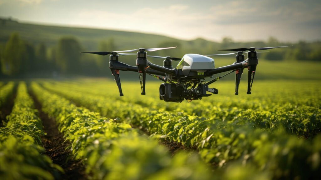
Agriculture and Environmental Monitoring
In agriculture, drones equipped with multispectral cameras can assess crop health, identify areas requiring irrigation or pest control, and optimize yield. Similarly, in environmental monitoring, these aerial devices facilitate the tracking of changes in ecosystems, aiding conservation efforts.
Urban Planning and Disaster Management
Urban planners leverage drone surveys to gather comprehensive data for city mapping, zoning, and infrastructure planning. In disaster management scenarios, drones swiftly assess affected areas, aiding in search and rescue operations and damage assessment.
Overcoming Challenges and Future Prospects
While the benefits of drone-based surveying are undeniable, certain challenges persist. Regulatory frameworks, privacy concerns, and data management issues necessitate careful navigation for widespread adoption. However, advancements in AI-powered data analytics, coupled with refined drone technology, hold immense promise for addressing these challenges.
Looking ahead, the future of surveying undoubtedly rests on the continued integration and advancement of drone technology, drone magnetic survey is one such future innovation in working. Enhanced sensors, improved flight autonomy, and the amalgamation of artificial intelligence will further refine surveying capabilities, pushing the boundaries of accuracy, efficiency, and applicability.
In conclusion, the synergy between surveying and drone technology has unleashed unprecedented possibilities, transforming an age-old practice into a dynamic, precise, and efficient process. As drones continue to soar higher and evolve, their role in shaping the future of surveying remains indispensable.
The landscape of surveying has evolved, but the journey towards precision, efficiency, and innovation is an ongoing expedition, guided by the wings of technology.