In today’s fast-paced business environment, companies are constantly searching for ways to improve efficiency, reduce costs, and gain a competitive edge. One emerging technology that is revolutionizing industries across the board is drone survey benefits. By leveraging drones for various surveying tasks, businesses can unlock a myriad of benefits that were previously unattainable. In this comprehensive article, we will explore the top advantages of utilizing drone survey technology for your business operations, with a special focus on how Garud Survey can help you harness these benefits.
1. Introduction to Drone Survey Technology
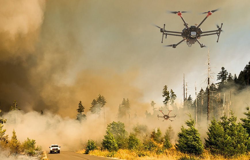
Drone survey technology involves the use of unmanned aerial vehicles (UAVs) equipped with advanced sensors and cameras to capture detailed aerial data. This data is then processed and analyzed to provide valuable insights for various applications such as mapping, inspection, and monitoring. Unlike traditional survey methods, drones offer a faster, safer, and more cost-effective solution for gathering accurate information from hard-to-reach areas.
2. Enhanced Data Accuracy and Precision
One of the most significant benefits of drone surveys is the **high level of accuracy and precision** they provide. Equipped with cutting-edge GPS and imaging technology, drones can capture data with millimeter-level precision. This level of detail is crucial for industries such as construction, agriculture, and mining, where even minor errors can lead to substantial costs and delays. By utilizing Garud Survey’s drone services, businesses can ensure that their data is both reliable and actionable.
3. Time Efficiency and Rapid Data Collection
Traditional surveying methods can be time-consuming and labor-intensive, often requiring days or even weeks to complete. In contrast, drones can cover large areas in a fraction of the time, allowing for rapid data collection. This increased efficiency not only speeds up project timelines but also enables businesses to make quicker, more informed decisions. Garud Survey’s fleet of high-performance drones can survey expansive sites swiftly, ensuring that your operations stay on schedule.
4. Cost-Effectiveness and Resource Optimization
Cost reduction is a primary concern for any business, and drone surveys offer a compelling solution. By reducing the need for manual labor, heavy machinery, and prolonged on-site presence, drones can significantly lower operational costs. Additionally, the ability to conduct regular and comprehensive surveys means that issues can be identified and addressed before they escalate, preventing costly repairs and downtime. Garud Survey’s competitive pricing ensures that businesses of all sizes can benefit from this innovative technology without breaking the bank.
5. Improved Safety and Risk Mitigation
Conducting surveys in hazardous or difficult-to-access areas poses significant safety risks to workers. Drones, on the other hand, can easily navigate these environments without putting human lives at risk. By utilizing drones for tasks such as inspecting infrastructure, monitoring construction sites, or surveying disaster-affected regions, businesses can enhance safety and mitigate risks. Garud Survey’s drones are equipped with advanced obstacle avoidance systems, ensuring safe and efficient operation even in challenging conditions.
6. Versatility and Adaptability Across Industries
Drone survey technology is incredibly versatile and can be adapted to a wide range of industries and applications. From agriculture to real estate, drones are transforming the way businesses operate by providing unique insights and enhancing productivity. Some of the key sectors benefiting from drone surveys include:
Agriculture
Drones are used for crop monitoring, soil analysis, and precision farming, helping farmers optimize yields and reduce resource usage.
Construction
Drones enable real-time progress tracking, site inspections, and 3D mapping, improving project management and reducing delays.
Mining
Drones assist in mineral exploration, stockpile management, and environmental monitoring, increasing efficiency and safety.
Real Estate
Drones provide stunning aerial photography and videography, offering prospective buyers a comprehensive view of properties.
Environmental Management
Drones are used for wildlife monitoring, habitat mapping, and conservation efforts, aiding in the protection of natural resources.
Garud Survey’s team of experts can tailor drone solutions to meet the specific needs of your industry, ensuring maximum impact and return on investment.
7. Enhanced Monitoring and Surveillance Capabilities
The ability to conduct continuous and **real-time monitoring** is another significant advantage of drone survey technology. Drones can be programmed to perform regular flyovers, capturing up-to-date data and identifying any changes or anomalies. This capability is particularly valuable for industries such as infrastructure management, where ongoing surveillance is crucial for maintaining safety and performance. With Garud Survey’s state-of-the-art drones, businesses can achieve unparalleled monitoring and surveillance, ensuring that potential issues are detected and addressed promptly.
8. Environmental Benefits and Sustainability
In addition to their operational advantages, drones also offer **environmental benefits**. By reducing the need for heavy machinery and minimizing ground disturbance, drones help lower the environmental impact of surveying activities. Furthermore, the data collected by drones can be used to support sustainable practices, such as precision agriculture and environmental monitoring. Garud Survey is committed to promoting sustainability through its innovative drone solutions, helping businesses minimize their ecological footprint.
9. Integration with Advanced Technologies
Drone survey technology can be seamlessly integrated with other advanced technologies, such as Geographic Information Systems (GIS), Building Information Modeling (BIM), and Artificial Intelligence (AI). This integration enhances data analysis and visualization, providing businesses with deeper insights and more comprehensive decision-making tools. Garud Survey’s drones are equipped with the latest technology, ensuring that your business can leverage the full potential of these cutting-edge advancements.
10. Case Studies and Success Stories
To illustrate the real-world impact of drone survey technology, let’s explore a few case studies and success stories from Garud Survey’s portfolio:
Case Study 1: Construction Project in Urban Area
Garud Survey was tasked with conducting a detailed survey of a construction site in a densely populated urban area. Traditional methods would have been disruptive and time-consuming, but Garud Survey’s drones completed the task in just a few hours, providing precise 3D maps and progress reports. This enabled the construction company to optimize its workflow and meet tight deadlines.
Case Study 2: Agricultural Monitoring for Precision Farming
A large agricultural firm sought Garud Survey’s assistance in implementing precision farming techniques. By using drones to monitor crop health and soil conditions, the firm was able to significantly increase crop yields while reducing water and fertilizer usage. The detailed data provided by Garud Survey’s drones allowed for targeted interventions, resulting in substantial cost savings and improved sustainability.
Case Study 3: Environmental Conservation Efforts
Garud Survey partnered with a conservation organization to monitor a remote wildlife reserve. The drones were used to map habitats, track animal movements, and assess the impact of human activities. The high-resolution data collected by the drones played a crucial role in developing effective conservation strategies and ensuring the protection of endangered species.
11. Getting Started with Garud Survey
If you’re considering incorporating drone survey technology into your business operations, partnering with a trusted provider like Garud Survey is essential. Here are the steps to get started:
Step 1: Consultation and Needs Assessment
Garud Survey will conduct a thorough consultation to understand your specific needs and objectives. This initial assessment ensures that the drone solutions provided are tailored to your business requirements.
Step 2: Proposal and Planning
Based on the consultation, Garud Survey will develop a detailed proposal outlining the scope of work, timelines, and costs. The planning phase includes identifying key survey areas, selecting appropriate drone equipment, and scheduling flight operations.
Step 3: Data Collection and Analysis
Garud Survey’s skilled drone operators will conduct the survey, capturing high-resolution data according to the agreed-upon plan. The collected data is then processed and analyzed using advanced software tools to generate actionable insights.
Step 4: Reporting and Implementation
The final step involves presenting the survey results in a comprehensive report, along with recommendations for implementation. Garud Survey will work closely with your team to ensure that the insights gained from the drone survey are effectively integrated into your business operations.
12. Conclusion
In conclusion, drone survey benefits offers a wealth of benefits for businesses across various industries. From enhanced data accuracy and cost savings to improved safety and environmental sustainability, the advantages are clear. By partnering with a reputable provider like Garud Survey, businesses can unlock the full potential of this innovative technology and gain a competitive edge in their operations. Whether you’re in construction, agriculture, mining, or any other sector, drone surveys can revolutionize the way you gather and utilize data. Embrace the future of surveying with Garud Survey and take your business to new heights.