In recent years, drone surveys have gained significant popularity across various industries due to their efficiency, accuracy, and cost-effectiveness. The use of drones in surveying has become a game-changer, especially for topographical mapping, construction monitoring, land surveying, and environmental studies. Among the leading providers of drone survey services, Garud Survey stands out, offering professional drone survey solutions to clients. But how much does a drone survey cost at Garud Survey, and what factors influence this pricing?
What is a Drone Survey?
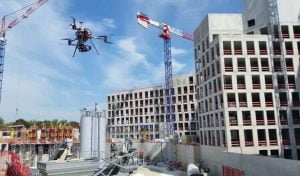
A drone survey involves using unmanned aerial vehicles (UAVs) equipped with cameras, LiDAR sensors, and other advanced tools to gather high-quality aerial data. This data is used to create topographic maps, 3D models, or orthophotos, providing a detailed analysis of a particular area. Drone surveys are often preferred over traditional surveying methods due to their ability to access difficult terrain, reduce human error, and provide faster results.
Garud Survey offers drone survey services that are both precise and reliable, helping industries ranging from agriculture to construction and urban planning.
Factors Influencing Drone Survey Costs
The cost of a drone survey at Garud Survey can vary based on several factors, including:
Size and Complexity of the Survey Area: The size of the area being surveyed is one of the most significant cost factors. A larger area will require more flight time, more data collection, and more post-processing. If the survey covers a vast landscape or an intricate topography, the cost is likely to increase due to the additional resources required. For example, surveying an entire construction site will differ from surveying a small residential plot in terms of both time and effort.
Survey Purpose: Different surveys may require varying levels of detail and precision. A basic aerial photography survey for a real estate project may be less costly than a highly detailed topographical survey for a mining operation, which requires high-resolution images, LiDAR scanning, and advanced data analysis. The purpose of the survey impacts the type of equipment and software Garud Survey uses, which, in turn, affects the overall cost.
Type of Equipment Used: The type of drone and sensors used can affect the price. Drones equipped with advanced cameras, LiDAR, or multispectral sensors are more expensive to operate than standard drones. Garud Survey uses state-of-the-art equipment, ensuring that clients receive high-quality data, but this does influence the cost. The technology used for data processing and the generation of final deliverables like 3D models or detailed maps also plays a role in determining the cost.
Flight Time and Data Processing: Drone surveys involve two main stages: flight and data processing. The flight time depends on the area being surveyed and the type of drone used. Some drones have a limited flight time, and multiple flights may be needed to cover the entire area. Post-processing the collected data into usable formats, such as topographical maps or 3D models, requires specialized software and skilled personnel. Garud Survey offers comprehensive data processing services, ensuring that the data collected is analyzed thoroughly, but this step adds to the overall cost.
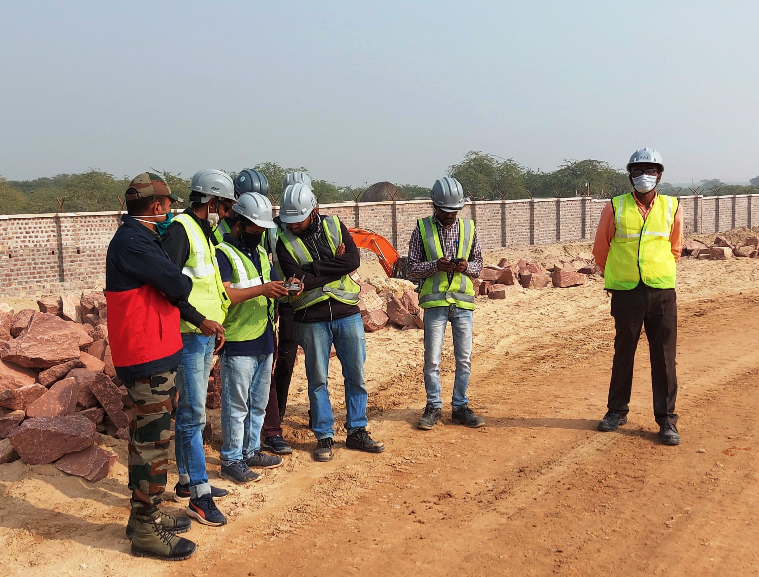
Regulatory Compliance and Permits: In some regions, drone surveys require special permits or compliance with aviation laws. Garud Survey ensures that all necessary permits are obtained before conducting a drone survey, which may include approvals from local authorities, particularly if flying in controlled airspace. The cost of obtaining permits and ensuring compliance can contribute to the overall price of the survey.
Location and Accessibility: The location of the survey site can also affect the cost. Remote or hard-to-reach locations may require more effort, as drone operators need to transport equipment, scout the area, and plan the flight path carefully. In some cases, additional costs may be incurred for transportation and setup in such locations.
Estimated Costs of Drone Surveys at Garud Survey
The cost of a drone survey at Garud Survey can range significantly depending on the above factors. On average, a basic drone survey for small areas may cost around $500 to $1,000. For larger areas, the cost may range from $2,000 to $5,000 or more. More specialized surveys involving high-end equipment, such as LiDAR or photogrammetry, may start at around $5,000 and can increase based on the complexity and size of the area surveyed.
It’s important to note that these prices are estimates, and Garud Survey provides customized quotes based on the specific requirements of each project. Clients are encouraged to reach out directly to discuss their needs in detail to get an accurate and tailored price estimate.
Conclusion
Drone surveys offer an efficient and precise method for collecting data, and Garud Survey provides top-tier services in this domain. The cost of a drone survey depends on several variables, including the size and complexity of the survey, the technology used, and the purpose of the survey. While drone surveys are generally cost-effective compared to traditional surveying methods, it is essential to understand the factors that influence pricing to get the best value for your investment. Garud Survey offers transparent pricing and professional services, making them a trusted partner for all your drone survey needs.