Introduction to UAV Aerial Surveying
Unmanned Aerial Vehicles (UAVs), commonly known as drones, have transformed numerous industries with their ability to efficiently collect data from the sky. UAV aerial surveying is at the forefront of this revolution, offering a unique blend of accuracy, flexibility, and cost-effectiveness that traditional methods of surveying simply cannot match. In this comprehensive guide, we will explore the essentials of UAV aerial surveying, its diverse applications, and how it is shaping the future of data collection.
What is UAV Aerial Surveying?
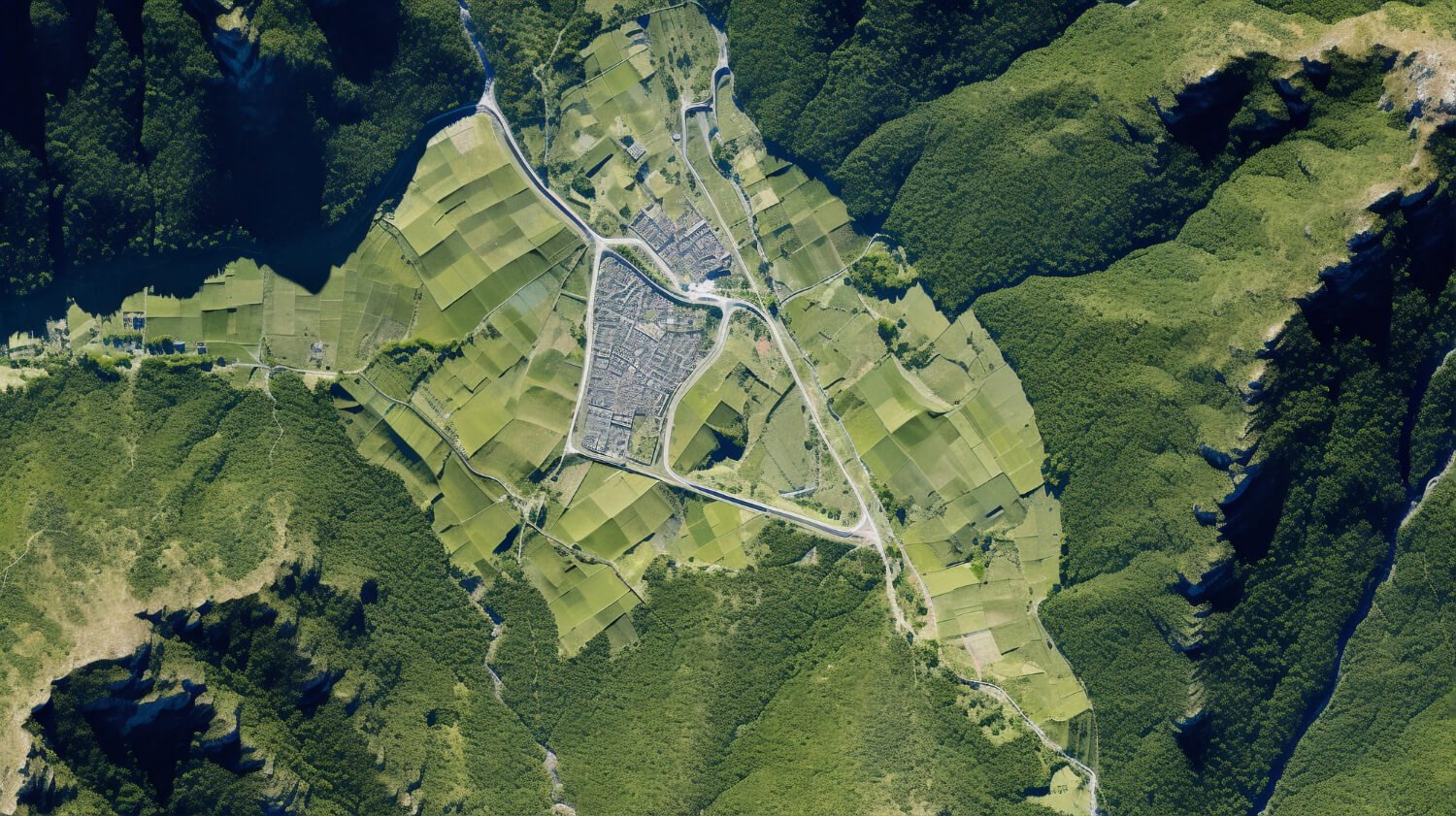
UAV aerial surveying involves the use of drones equipped with sensors, cameras, or other measurement tools to gather data about the Earth’s surface and structures. This technology enables high-resolution imagery and precise measurements that are crucial for mapping, planning, and decision-making in various sectors.
The Technology Behind UAVs
Key Components of UAV Systems
UAV systems consist of several key components:
– **The Drone**: Often equipped with rotors for vertical lift-off and landing, drones vary greatly in size and capabilities.
– **Payloads**: These include cameras, LiDAR sensors, multispectral sensors, and more, depending on the survey’s requirements.
– **Control Systems**: UAVs are typically controlled remotely via ground-based controllers or autonomously through pre-programmed flight paths.
Advancements in Sensor Technology
Modern UAVs utilize advanced sensors to capture detailed data:
– **LiDAR (Light Detection and Ranging)**: Uses laser light to measure distances and generate precise three-dimensional information about the shape of the Earth and its surface characteristics.
– **Photogrammetry**: This method uses photographs from the UAV to create measurements and maps.
Applications of UAV Aerial Surveying
Agriculture
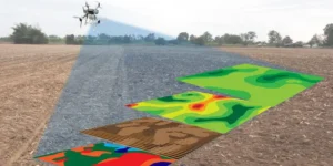
Farmers use UAVs to monitor crop health, assess planting strategies, and manage resources more effectively. UAVs equipped with **multispectral sensors** can identify disease or stress in plants long before human observers.
Construction and Real Estate
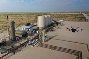
UAVs play a critical role in construction projects for monitoring progress, managing assets, and maintaining safety on site. In real estate, aerial imagery helps in showcasing properties in compelling new ways.
Environmental Monitoring
Environmental scientists employ UAVs to track changes in ecosystems, monitor wildlife, or assess water quality. UAVs provide access to previously inaccessible areas, offering invaluable data without disturbing the environment.
Disaster Response and Management
During natural disasters, UAVs can be quickly deployed to assess damage, locate victims, and identify safe routes for first responders. This rapid deployment capability can significantly enhance emergency management efforts.
Benefits of UAV Aerial Surveying
Increased Accuracy and Efficiency
UAVs provide data with high precision and significantly reduce the time spent in gathering data compared to traditional surveying methods.
Cost Reduction
UAV surveying minimizes the need for extensive human resources and mitigates risks associated with dangerous surveying environments, thus reducing overall project costs.
Versatility and Accessibility
Drones can easily reach difficult or remote areas, making them invaluable tools in geographically challenging locations.
Challenges and Considerations
Regulatory Compliance
Operators must navigate complex airspace regulations and privacy concerns, which vary by country and region.
Data Security and Integrity
Ensuring the security and accuracy of the data collected, especially in sensitive or highly regulated environments, is crucial.
Technological Limitations
While UAV technology is advancing rapidly, issues such as battery life, sensor limitations, and flight stability in adverse weather conditions still pose challenges.
Future Trends in UAV Aerial Surveying
Integration with AI and Machine Learning
Artificial intelligence and machine learning are being integrated into UAV systems to enhance data processing and automate complex tasks.
Increased Autonomy
Future UAVs will likely have greater autonomy, reducing the need for human control and enabling more complex and lengthy missions.
Expansion into New Markets
As technology advances and regulatory environments stabilize, UAV applications are expected to expand into new markets, further integrating UAV technology into everyday business practices.
Conclusion
UAV aerial surveying is not just a technological innovation; it is a transformative tool that is reshaping how data is collected and utilized across a vast array of industries. With the integration of advanced sensors, AI, and increasing autonomy, UAVs are set to revolutionize surveying and mapping disciplines further. As regulatory frameworks evolve and technology progresses, the potential applications of UAV aerial surveying will continue to grow, offering more efficient, safer, and cost-effective alternatives to traditional methods. The sky is, quite literally, the limit for the future of UAV aerial surveying.


