In the ever-evolving landscape of technological advancement, drone mapping services are revolutionizing industries by offering unprecedented accuracy and efficiency in data collection. From agricultural management to construction, and environmental monitoring to real estate, drone technology is providing innovative solutions that redefine traditional practices. This detailed guide explores the multifaceted benefits and applications of drone mapping, positioning it as a critical tool for modern businesses and professionals.
Introduction to Drone Mapping
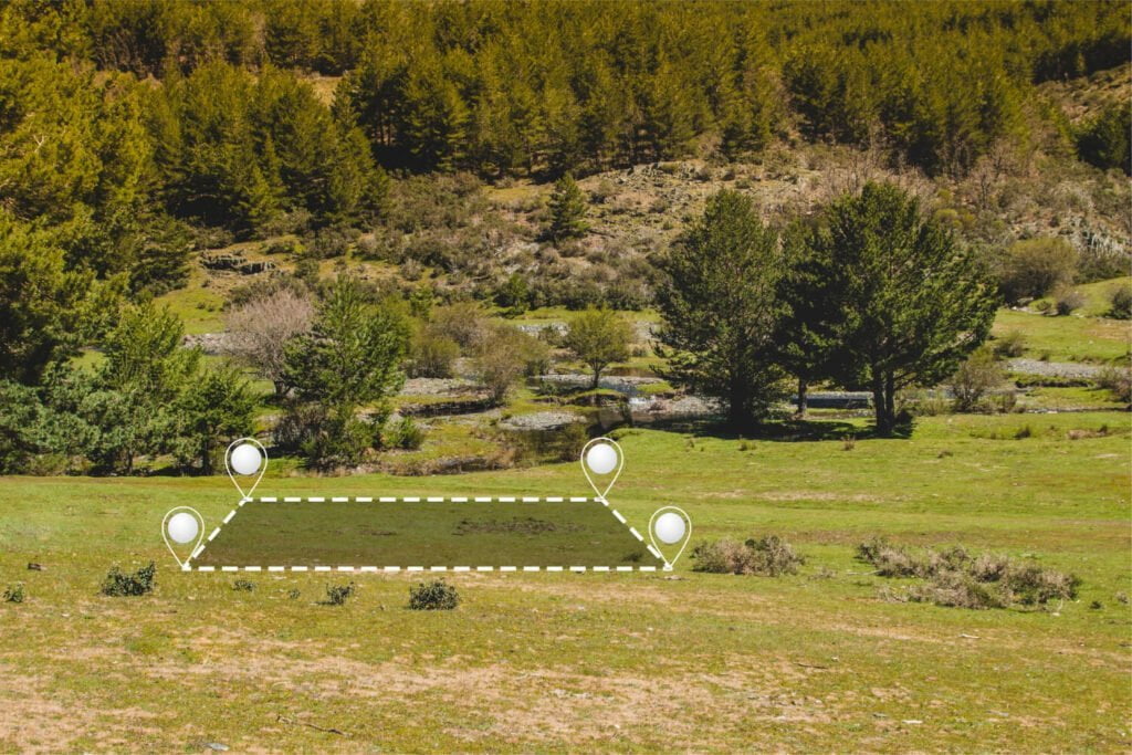
Drone mapping, also known as aerial surveying, involves the use of drones equipped with sensors, cameras, or other imaging technologies to capture and gather data from above the ground. This data is then processed to create detailed maps and 3D models, which can be utilized for various analytical purposes. The appeal of drone mapping lies in its ability to collect high-resolution imagery much faster and more affordably than traditional surveying methods.
Understanding the Technology Behind Drone Mapping
At the core of drone mapping is the integration of sophisticated hardware and software. Drones equipped with **GPS receivers**, high-resolution cameras, and advanced imaging sensors like LiDAR (Light Detection and Ranging) are the primary tools for data acquisition. The information collected is processed using Geographic Information Systems (GIS), photogrammetry software, and other specialized applications to produce accurate spatial maps and models.
Key Components:
– **GPS Technology**: Ensures precise location tracking for high accuracy.
– **Cameras and Sensors**: High-definition and multispectral cameras capture detailed visual and infrared data.
– **Data Processing Software**: Converts raw data into usable maps and models.
Benefits of Drone Mapping Services
Drone mapping offers numerous benefits across various sectors, making it an indispensable tool for modern businesses.
Enhanced Accuracy and Detail
Drone technology captures data at significantly higher resolutions than traditional methods, allowing for more detailed and accurate maps.
Cost-Effectiveness
Reducing the need for human labor and the time taken to cover large areas, drone mapping cuts down overall project costs.
Accessibility and Safety
Drones can reach and survey difficult or hazardous terrains without risking human safety, making it an ideal choice for challenging environments.
Speed and Efficiency
Data collection with drones is considerably faster, enabling near real-time updates and quick decision-making.
Applications of Drone Mapping in Different Industries
Agriculture
Farmers use drone mapping to monitor crop health, optimize water usage, and manage resources more efficiently, leading to increased crop yields and reduced waste.
Construction and Real Estate
In construction, drones assist in site surveys, monitor project progress, and help with compliance documentation. In real estate, aerial images enhance property listings, providing potential buyers with detailed views.
Environmental Conservation
Environmental scientists deploy drones to monitor ecosystems, track wildlife, and assess the impact of climate change, aiding in conservation efforts.
Challenges and Considerations in Drone Mapping
While drone mapping is highly beneficial, it comes with its set of challenges that need careful consideration.
Regulatory Compliance
Operators must adhere to local and international drone regulations, which can vary widely and affect how services are conducted.
Data Privacy and Security
The data captured by drones can be sensitive. Ensuring its security and managing privacy concerns is crucial for operators and clients.
Technical Expertise
Effective drone mapping requires skilled professionals who can operate drones and process data accurately.
Case Studies: Success Stories in Drone Mapping
Agricultural Optimization
A large-scale farm in California successfully implemented drone mapping to enhance irrigation systems, resulting in a 20% reduction in water usage and increased crop yield.
Construction Project Efficiency
A construction company in Dubai used drone surveys to track project progress and significantly reduce the time needed for manual inspections, improving project delivery times by 30%.
Future Trends in Drone Mapping Services
As technology progresses, the future of drone mapping looks promising with advancements like AI integration for automated data analysis and the development of more sophisticated sensors enhancing the capabilities and applications of drone services.
How to Choose the Right Drone Mapping Service Provider
Selecting a competent drone mapping service involves considering their expertise, technology used, compliance with regulations, customer service, and pricing structures.
Conclusion
Drone mapping services are not just a technological innovation but a practical solution that enhances operational efficiency across multiple industries. As businesses continue to recognize the potential of drone technology, the adoption of drone mapping is set to increase, transforming conventional practices into more accurate, safer, and cost-effective processes. The future of drone mapping is here, offering a new horizon of possibilities that will inevitably shape the progress of various sectors in the coming years.