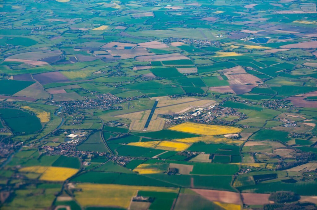
In the fast-growing urban landscape of Chennai, precision and efficiency in surveying are no longer a luxury but a necessity. Traditional land survey methods, though reliable, often fall short when it comes to speed, accessibility, and accuracy in complex environments. This is where Drone Survey in Chennai emerges as a game-changer. At the forefront of this technological transformation is Garud Survey Private Limited, a trusted name in advanced aerial surveying solutions.
Why Drone Survey in Chennai is the Future
Drone surveying, also known as UAV (Unmanned Aerial Vehicle) surveying, uses high-resolution cameras and GPS technology to capture detailed aerial data of land, construction sites, infrastructure, and agricultural fields. Chennai, being a hub for real estate development, infrastructure projects, and industrial expansion, demands quick and reliable survey solutions. Drone Survey in tamil nadu offers:
High Accuracy: Drones can capture topographic data with centimeter-level accuracy.
Speed: Large areas can be surveyed within hours, saving time compared to traditional ground methods.
Cost-Effectiveness: Reduces manpower and resource deployment.
Safety: Surveys in difficult terrains or hazardous sites can be done without putting human lives at risk.
Garud Survey Private Limited – Your Trusted Partner in Drone Survey in Chennai
Garud Survey Private Limited specializes in providing cutting-edge drone survey solutions tailored to the diverse needs of clients across Chennai and Tamil Nadu. With a team of licensed drone pilots, GIS experts, and civil engineers, the company ensures every project is executed with precision and professionalism.
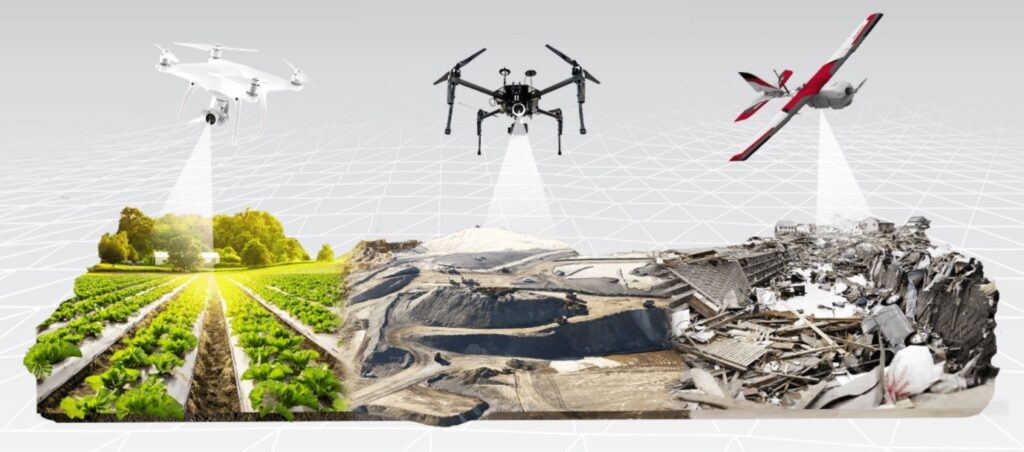
Whether it’s for real estate development, road and highway planning, mining, or agricultural monitoring, Garud Survey delivers high-quality data that helps clients make informed decisions.
Services Offered by Garud Survey Private Limited
Garud Survey offers a range of drone-based services, including:
Topographic Mapping: Capture elevation and contour data for site planning.
Construction Progress Monitoring: Regular aerial updates for project stakeholders.
3D Modeling and Photogrammetry: High-resolution 3D models for urban planning and architecture.
Land Surveying and Boundary Mapping: Accurate delineation for legal and planning purposes.
Agricultural Surveying: Crop health analysis and farm management.
Each service uses industry-leading drone technology and post-processing software to ensure accuracy and reliability.
Industries Benefiting from Drone Survey in Chennai
With the increasing demand for smart solutions, multiple sectors in Chennai have begun adopting drone surveys:
Real Estate and Urban Planning: For site selection, master planning, and progress tracking.
Infrastructure and Transportation: For road construction, railway alignment, and metro projects.
Oil, Gas, and Energy: Pipeline inspection and land acquisition planning.
Agriculture: Precision farming and irrigation management.
Environmental Studies: Forest mapping, coastal erosion analysis, and flood modeling.
Garud Survey Private Limited collaborates with clients across all these sectors, providing data-driven insights that improve project outcomes.
Why Choose Garud Survey for Drone Survey in Chennai?
Licensed & Compliant: Fully DGCA-certified drone operations.
Experienced Team: Decades of combined experience in surveying and GIS mapping.
Advanced Technology: Use of high-end drones like DJI Phantom, Mavic Enterprise, and LiDAR-equipped systems.
Customized Solutions: Tailored services to meet client-specific project needs.
End-to-End Support: From pre-survey planning to final data delivery.
Conclusion
The demand for Drone Survey in Chennai & tamil nadu is rapidly increasing, and with it, the need for reliable partners who understand both technology and terrain. Garud Survey Private Limited is proud to be at the forefront of this revolution, delivering innovative aerial survey solutions that redefine accuracy, efficiency, and safety. Whether you’re a government body, private developer, or infrastructure planner, Garud Survey is your go-to partner for comprehensive drone surveying services in Chennai.