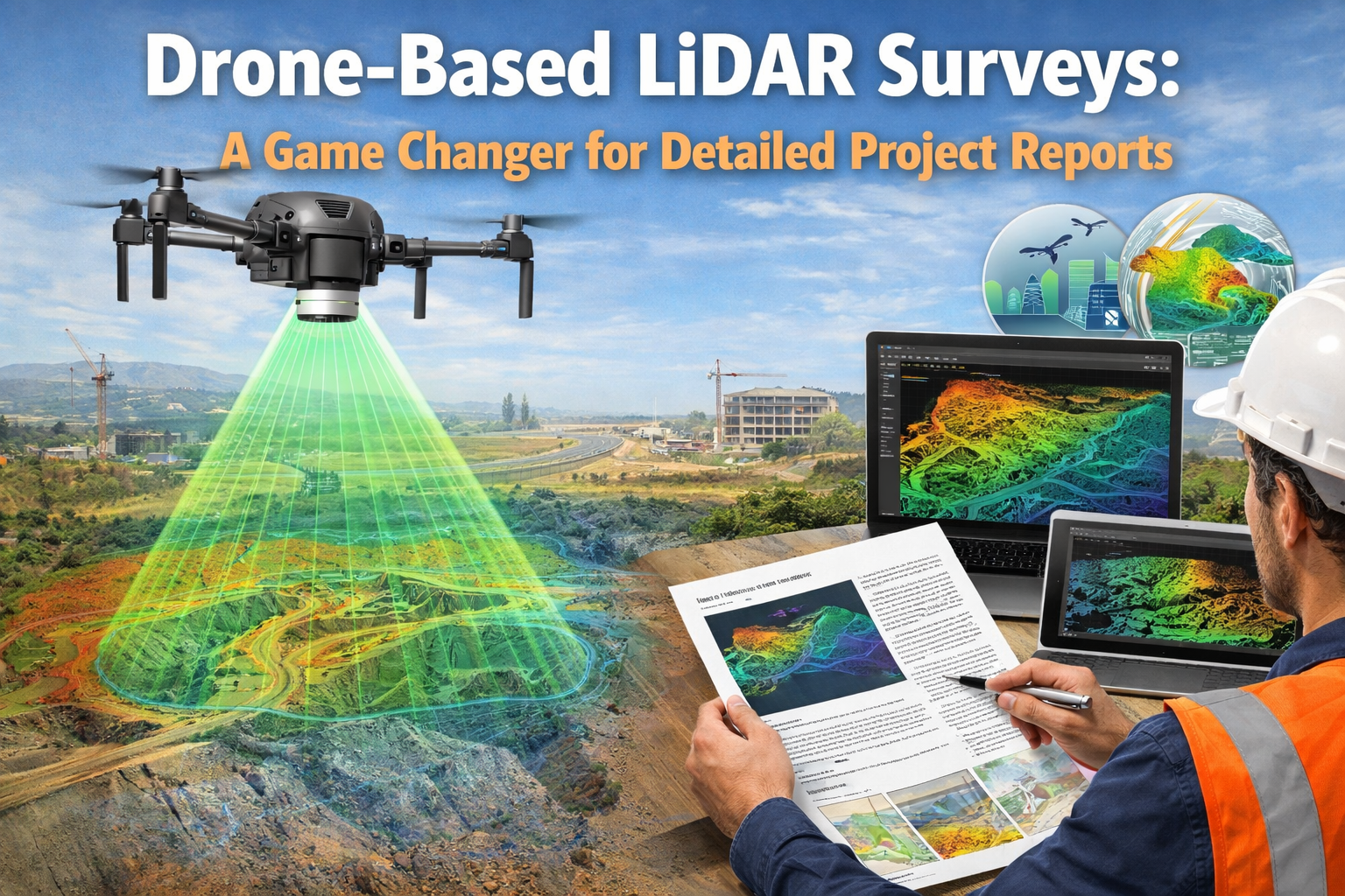
In today’s fast-paced infrastructure, mining, and urban development sectors, accurate data is the foundation of successful planning and execution. Traditional surveying methods often struggle to deliver high-precision data within tight timelines, especially in complex or inaccessible terrains. This is where Drone-Based LiDAR Surveys have emerged as a true game changer for creating Detailed Project Reports (DPRs).
At Garud Survey Private Limited, we leverage advanced drone-based LiDAR technology to provide highly accurate, reliable, and efficient survey solutions across India.
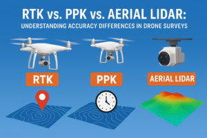
What Is Drone-Based LiDAR Surveying?
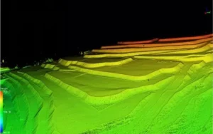
LiDAR (Light Detection and Ranging) is a remote sensing technology that uses laser pulses to measure distances between the sensor and the ground. When mounted on drones, LiDAR systems can rapidly collect millions of data points, creating highly detailed 3D models, terrain maps, and elevation data.
Unlike conventional drone photogrammetry, LiDAR can penetrate vegetation, making it ideal for dense forests, mining areas, river corridors, and hilly terrains. This capability makes drone-based LiDAR surveys invaluable for projects where surface visibility is limited.
Why LiDAR Surveys Are Critical for Detailed Project Reports
A Detailed Project Report demands precision, clarity, and reliable ground data. Drone-based LiDAR surveys significantly enhance the quality of DPRs in several ways:
1. High-Accuracy Terrain Data
LiDAR surveys deliver centimeter-level accuracy, enabling engineers and planners to understand true ground elevations, slopes, and contours. This accuracy reduces design errors and ensures better project feasibility assessments.
2. Faster Data Collection
Traditional ground surveys can take weeks or even months for large or difficult areas. Drone-based LiDAR surveys dramatically reduce survey time, helping project teams meet tight deadlines without compromising data quality.
3. Reliable Data in Challenging Environments
From dense vegetation to rugged landscapes and mining zones, LiDAR-equipped drones capture precise data where traditional methods often fail. This reliability is crucial for infrastructure, mining, and environmental projects.
4. Improved Cost Efficiency
By minimizing manual labor, reducing rework, and accelerating project timelines, drone-based LiDAR surveys help lower overall project costs—making DPR preparation more economical.
Applications of Drone-Based LiDAR Surveys in DPRs
Drone-based LiDAR surveys are widely used across multiple sectors for preparing accurate and comprehensive DPRs:
Infrastructure Projects: Roads, highways, railways, bridges, and smart city planning
Mining & Mineral Exploration: Volume calculations, pit mapping, and compliance reporting
Urban Planning: Land-use analysis, drainage planning, and city modeling
Forest & Environmental Studies: Canopy analysis, biomass estimation, and conservation planning
River & Flood Mapping: Watershed analysis, flood risk assessment, and embankment planning
How Drone-Based LiDAR Enhances Decision-Making
The detailed 3D point cloud data generated through LiDAR surveys allows stakeholders to visualize projects before execution. Engineers, consultants, and government authorities can make informed decisions using accurate digital terrain models (DTMs) and digital elevation models (DEMs).
This data-driven approach reduces uncertainties, improves design confidence, and ensures regulatory compliance—key elements of a successful DPR.
Why Choose Garud Survey Private Limited?
At Garud Survey Private Limited, we combine cutting-edge drone technology with industry expertise to deliver high-quality LiDAR survey solutions tailored to project requirements. Our services are designed to support:
Precise DPR preparation
Faster approvals and planning
Data accuracy aligned with Indian standards
End-to-end drone survey and mapping solutions
With a strong presence across India, we are committed to helping clients achieve better project outcomes through advanced drone-based LiDAR surveys.
Conclusion
Drone-Based LiDAR Surveys have revolutionized the way Detailed Project Reports are prepared. By offering unmatched accuracy, speed, and reliability, this technology has become indispensable for modern infrastructure, mining, and urban development projects.
As India continues to invest heavily in large-scale development, partnering with an experienced drone survey company like Garud Survey Private Limited ensures your DPRs are backed by precise data and future-ready insights.