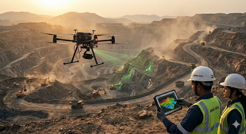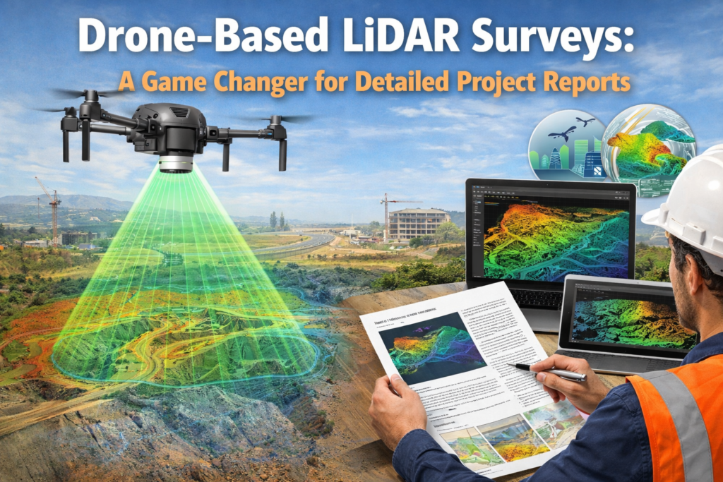
LiDAR vs Photogrammetry for Topographic Survey: Which Technology is Better for Infrastructure Projects?
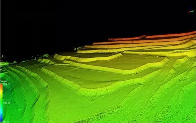
LiDAR vs Photogrammetry: What is the Real Difference? When creating a topographic map for highways, railways, transmission lines, solar parks, mining projects, industrial developments, or urban infrastructure projects, both LiDAR and Photogrammetry can generate terrain data. However, the biggest difference is that Photogrammetry creates maps using overlapping aerial photographs, while LiDAR uses laser pulses to […]