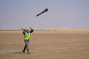
With the rapid growth of infrastructure, smart cities, and land development projects, the demand for accurate terrain mapping has increased significantly. A drone topographic survey in India has emerged as a modern, efficient, and highly accurate solution compared to traditional land surveying methods. By using advanced UAV technology, topographic surveys can now be completed faster, safer, and with superior data quality.
Garud Survey Private Limited is a trusted name in delivering professional drone-based topographic survey services across India, helping industries and government bodies make informed decisions with precise geospatial data.
What Is a Drone Topographic Survey?
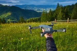
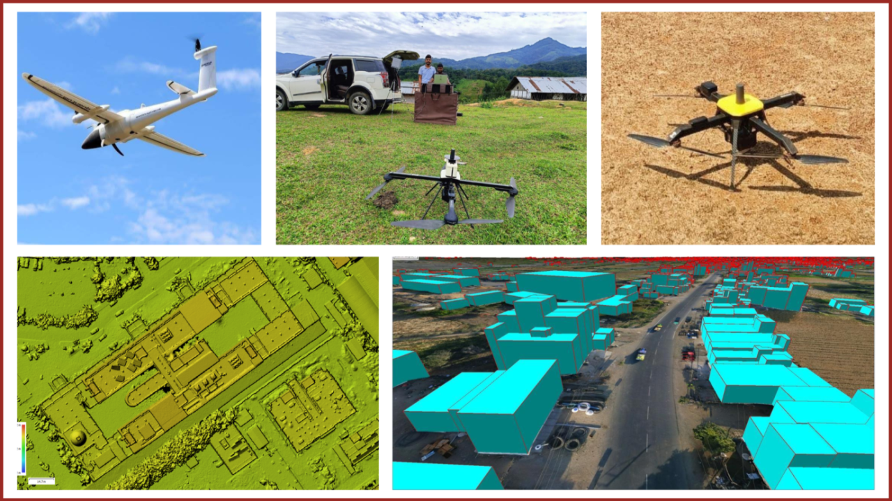
A drone topographic survey involves using unmanned aerial vehicles (UAVs) equipped with high-resolution cameras and positioning systems to capture detailed elevation and surface data of land areas. The collected data is processed to generate:
Contour maps
Digital Elevation Models (DEM)
Digital Surface Models (DSM)
Orthomosaic maps
Slope and terrain analysis
This method provides a complete and accurate representation of land features, making it ideal for planning, design, and construction projects.
Why Drone Topographic Survey Is Gaining Popularity in India
India’s diverse terrain—ranging from deserts and plains to forests and hilly regions—poses challenges for conventional surveying. Drone topographic survey in India offers several advantages that make it the preferred choice today:
Rapid data acquisition for large and inaccessible areas
High accuracy using RTK and PPK drone technology
Reduced manpower and on-ground risk
Cost-effective survey execution
Detailed and reliable terrain data
These benefits make drone surveys especially valuable for time-sensitive and large-scale projects.
Drone Topographic Survey Services by Garud Survey Private Limited
As a leading drone survey company, Garud Survey Private Limited delivers end-to-end topographic survey solutions using advanced UAV platforms and data processing tools.
Our Capabilities Include:
High-resolution drone mapping
RTK/PPK-enabled precision surveys
Accurate contour generation
Volume and cut-fill analysis
GIS and CAD-compatible outputs
We follow DGCA guidelines and industry best practices to ensure accuracy, safety, and compliance.
Applications of Drone Topographic Survey in India
Drone-based topographic surveys are widely used across multiple sectors:
Infrastructure Development
Used for roads, highways, railways, bridges, and urban planning to understand terrain conditions before construction.
Mining and Quarry Projects
Helps in land profiling, slope analysis, and excavation planning with accurate elevation data.
Real Estate and Land Development
Supports layout planning, drainage design, and feasibility studies for residential and commercial projects.
Renewable Energy Projects
Essential for solar parks and wind farms to assess land slope, shading, and site suitability.
Government and Smart City Projects
Used for land records, city planning, and large-area mapping under digital governance initiatives.
Accuracy and Technology Used
Garud Survey Private Limited uses advanced drone platforms integrated with RTK and PPK systems to deliver centimeter-level accuracy. Our data processing workflow ensures reliable outputs that meet engineering and regulatory standards.
Survey results can be delivered in formats compatible with AutoCAD, GIS, and other professional planning software.
Benefits of Choosing Garud Survey Private Limited
When you choose Garud Survey Private Limited for a drone topographic survey in India, you benefit from:
Experienced UAV survey professionals
Advanced drone and mapping technology
Pan-India service coverage
Accurate, fast, and reliable deliverables
Customized survey solutions based on project needs
Future of Drone Topographic Survey in India
With increasing adoption of drones, AI-based data analytics, and LiDAR integration, the future of drone topographic surveys in India is highly promising. These technologies will further improve accuracy, efficiency, and decision-making for infrastructure and land development projects.
Garud Survey Private Limited continues to invest in the latest UAV and geospatial technologies to stay ahead in the evolving drone survey industry.
Conclusion
A drone topographic survey in India is the most efficient and accurate way to understand land terrain for modern development projects. With expertise, advanced technology, and a commitment to quality, Garud Survey Private Limited stands out as a reliable partner for drone-based topographic surveys across India.
Contact Garud Survey Private Limited today to get precise and cost-effective drone topographic survey solutions for your project.