Groundwater Investigation
Groundwater Investigation
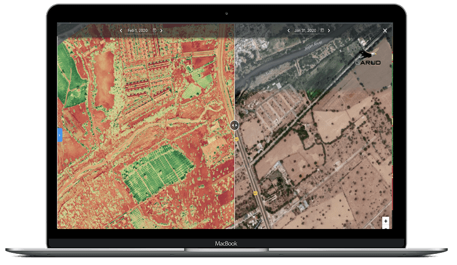
Groundwater Investigation Surveys are conducted using advanced geophysical and hydrogeological methods to identify groundwater-bearing zones, aquifer systems, and subsurface water potential areas.
These investigations support borewell site selection, water resource planning, hydrogeological studies, and groundwater assessment projects. Our surveys provide reliable subsurface information for sustainable groundwater development and water management planning.
Daily Coverage Capacity
Investigation Capacity: 5–10 Locations/day
Key Deliverables
• Hydrogeological Interpretation Report
• Recommended Borewell Location
• Groundwater Potential Zone Map
• Aquifer Identification Report
Accuracy & Data Quality
-
Groundwater surveys provide reliable depth and layer estimation, depending on terrain and survey design.
- Depth accuracy: ±5–10%
- Identifies resistivity variations linked to water presence
- Effective in mapping multiple aquifer layers
- Accuracy improves with proper survey spacing and expert interpretation