Applications
Drone Solutions for Every Industry
From mining to agriculture, our UAV-powered survey solutions deliver fast, accurate, and actionable data across 14+ industry verticals — anywhere in India.
 Mining
Minor Mineral Drone Survey
Aerial survey for minor mineral sites in Rajasthan — volumetric estimation, compliance, and mapping.
Know More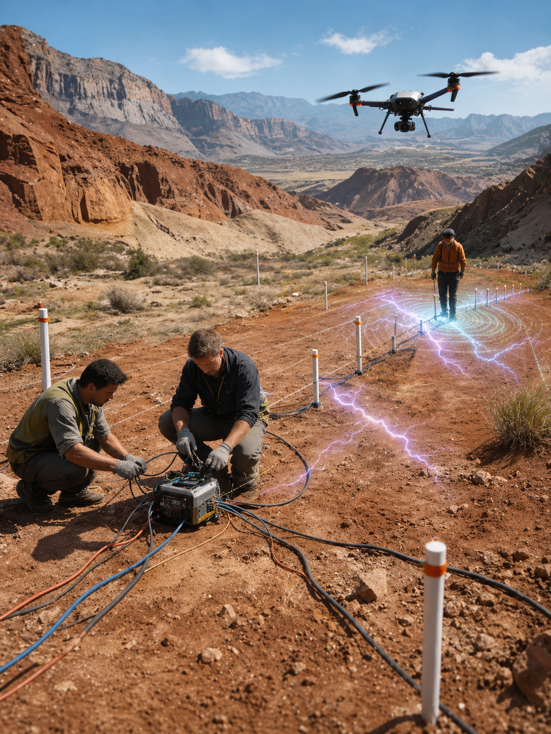 Mining
Mining Survey
Volumetric analysis, stockpile measurement, and underground mining surveys for open-cast and deep mines.
Know More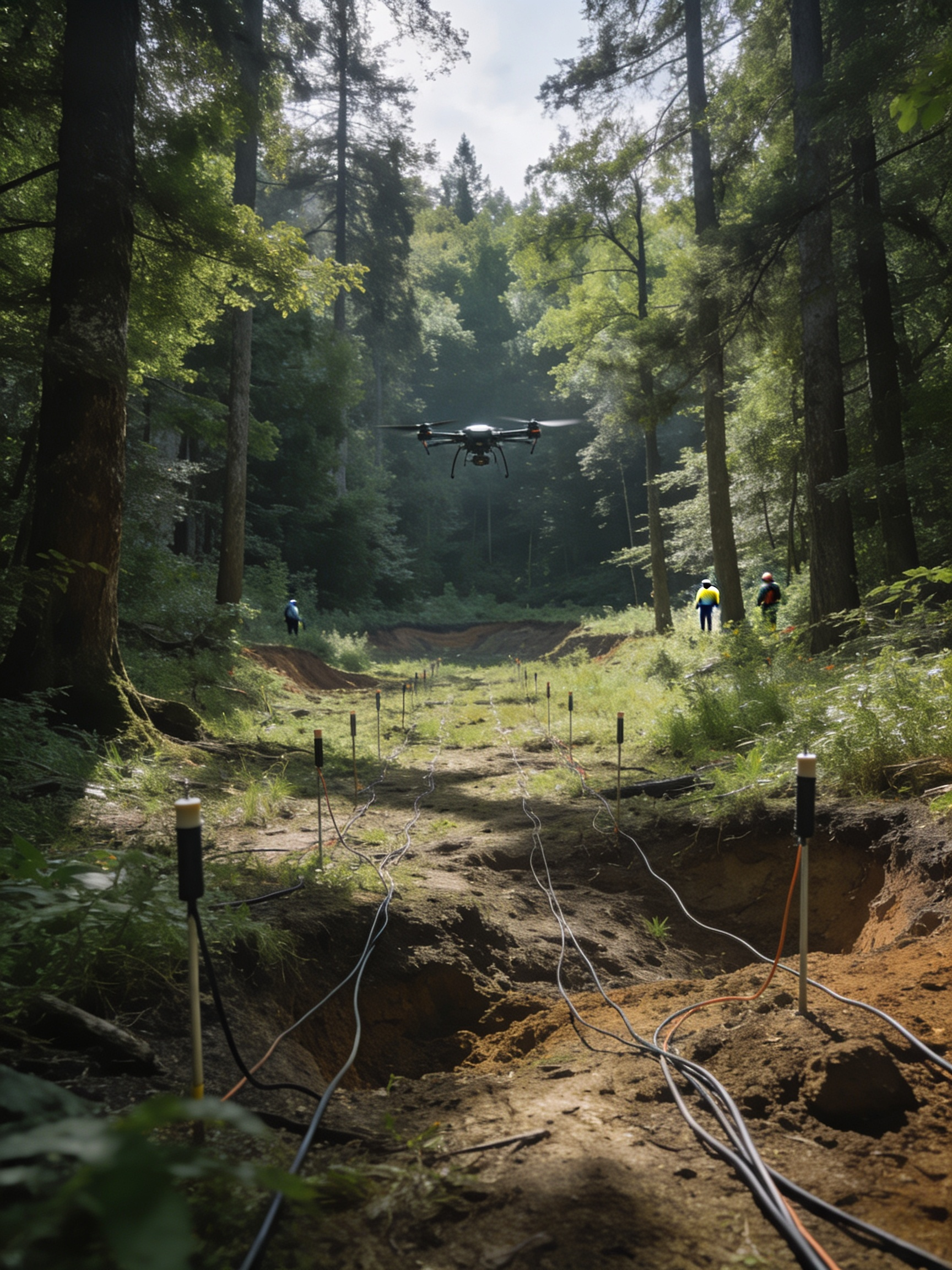 Industry
Solar Industry Survey
Thermal inspection, panel monitoring, and site planning for solar farms using high-resolution aerial data.
Know More Infrastructure
Bridge & Road Inspection
Structural inspection, crack detection, and condition assessment of bridges, highways, and road networks.
Know More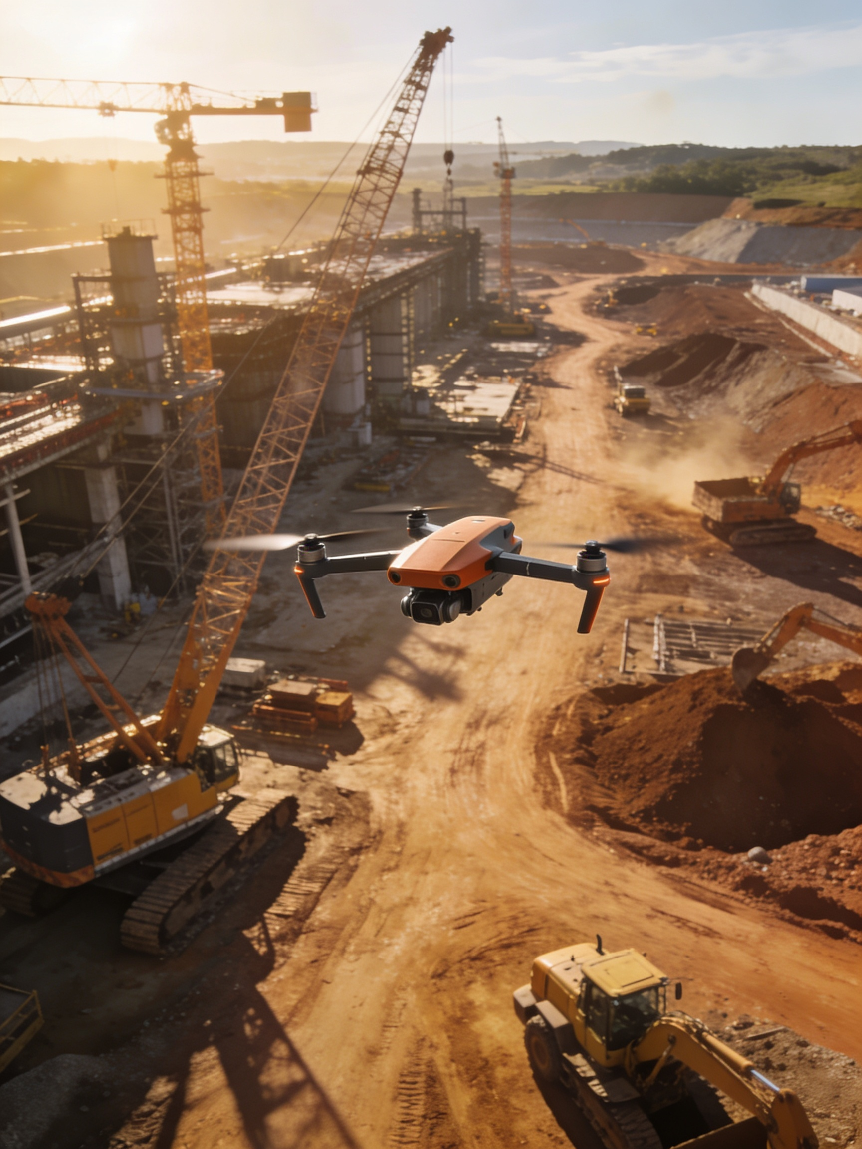 Environment
Forest & Wildlife Survey
Canopy analysis, wildlife monitoring, deforestation mapping, and biodiversity assessment from the air.
Know More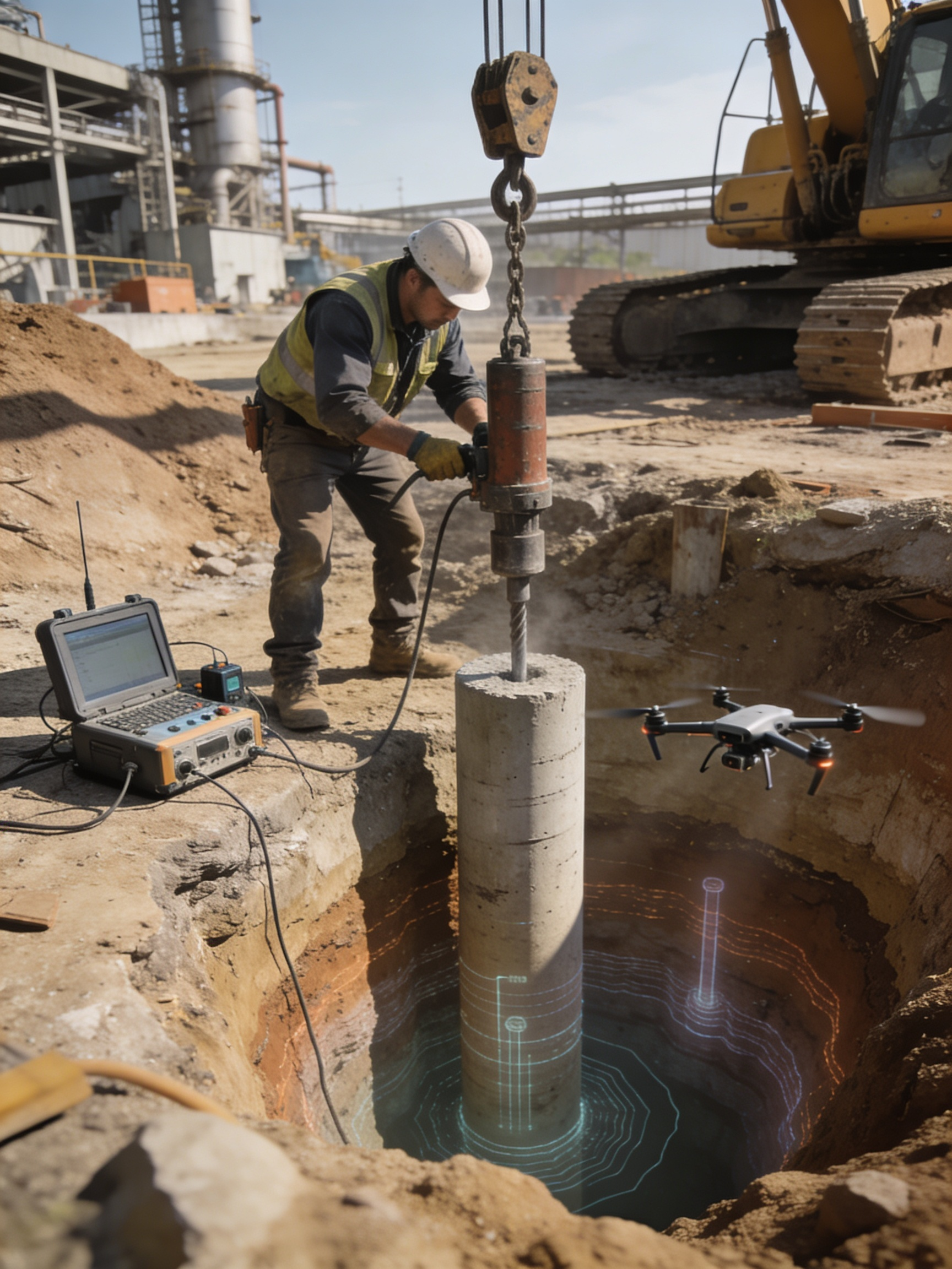 Mining
Underground Mining Survey
3D mapping and inspection of underground mining tunnels, shafts, and cavities using advanced drone tech.
Know More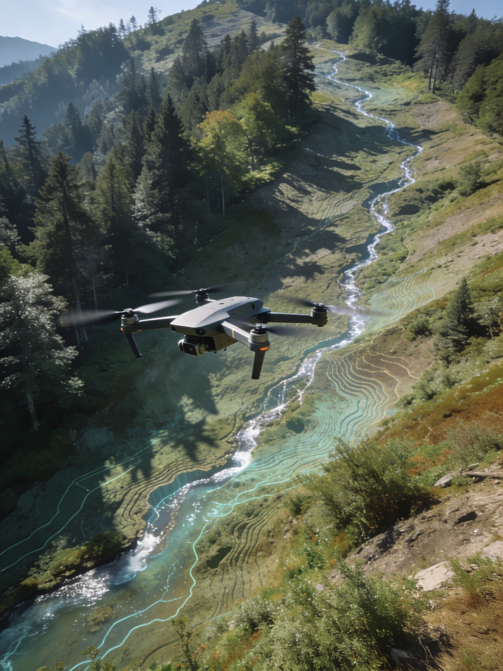 Environment
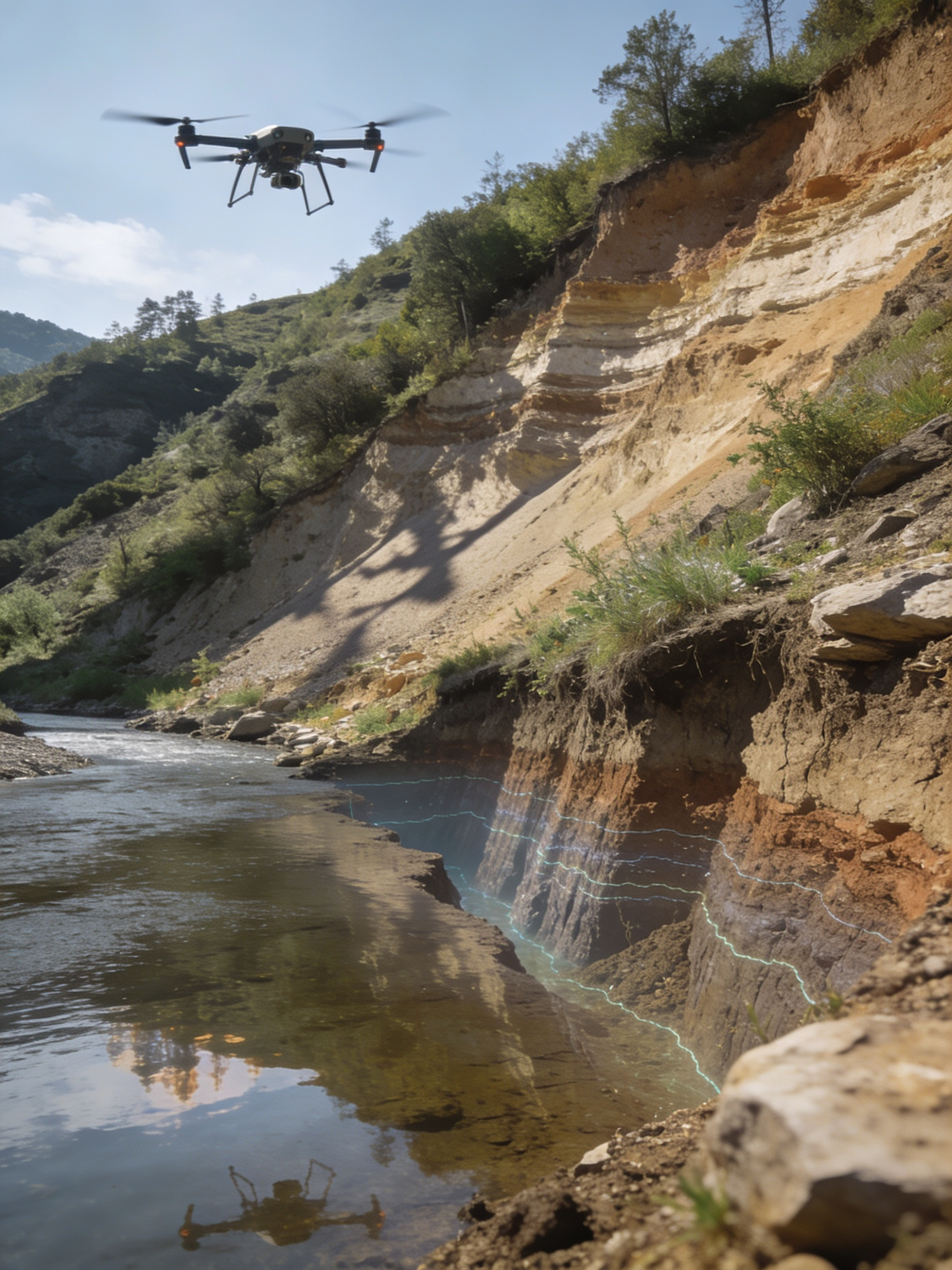
Disaster Management
Rapid flood assessment, landslide mapping, and post-disaster damage evaluation for relief operations.
Know More Infrastructure
Railway Survey
Track alignment, corridor mapping, and infrastructure inspection for new and existing rail networks.
Know More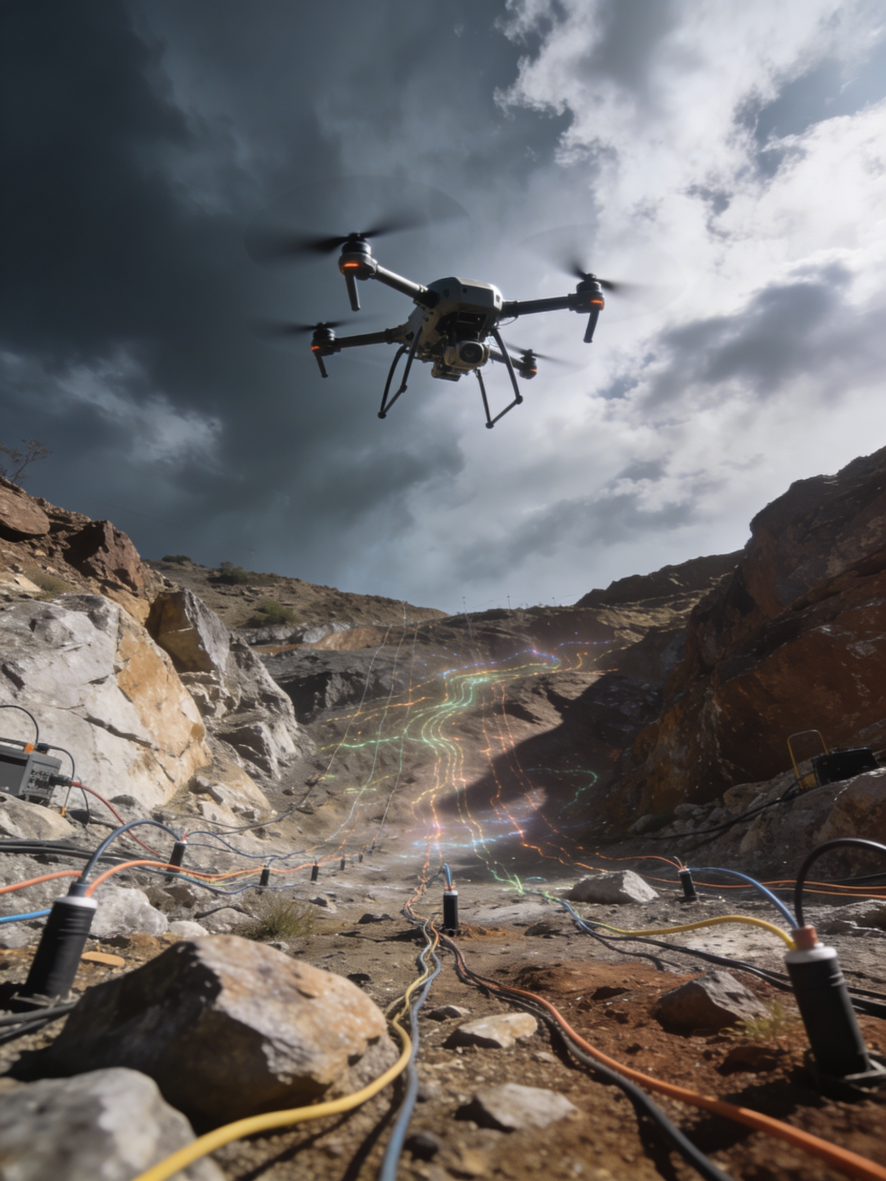 Industry
Powerline Monitoring
Thermal and visual inspection of transmission lines, towers, and substations for preventive maintenance.
Know More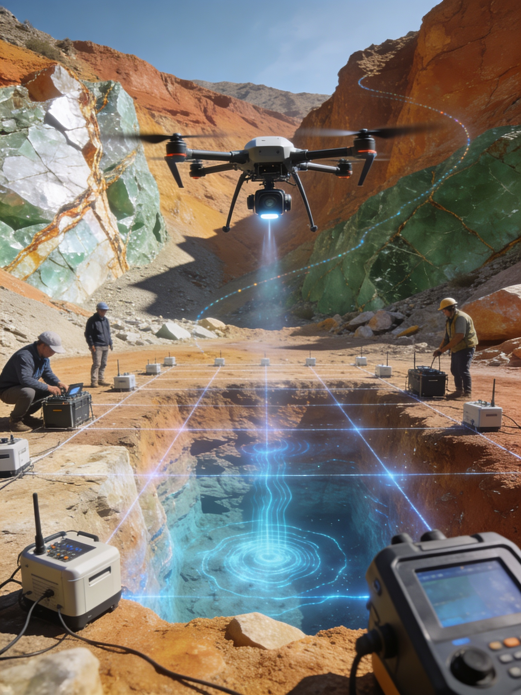 Industry
Industrial Inspection
Chimney, tank, plant, and facility inspection using drones — safer, faster, and more cost-effective than manual methods.
Know More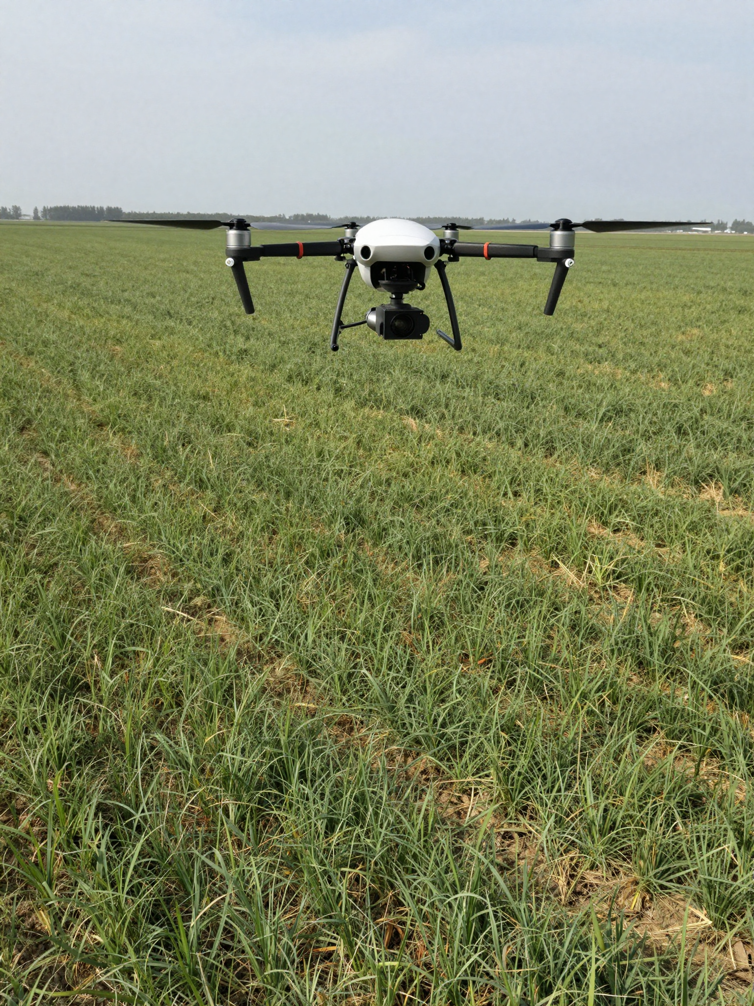 Urban
UrbanSmart City Survey
Urban planning, property mapping, traffic analysis, and infrastructure assessment for smart city projects.
Know More
InfrastructurePipeline Inspection
Leak detection, corrosion mapping, and right-of-way monitoring for oil, gas, and water pipelines.
Know More
MiningDrone Magnetic Survey
High-resolution aeromagnetic data for mineral exploration, geological mapping, and resource estimation.
Know More
EnvironmentAgriculture Survey
Crop health, NDVI analysis, irrigation monitoring, AI-based crop detection, and insurance reporting.
Know More