Drone Monitoring & Surveillance
Drone Monitoring & Surveillance
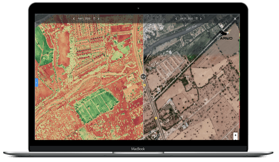
Drone Monitoring & Surveillance services provide real-time aerial monitoring, project tracking, and security observation using advanced UAV systems equipped with high-resolution cameras and live transmission capabilities.
These services help improve operational efficiency, safety monitoring, construction progress tracking, mining surveillance, industrial inspection, and emergency response activities. Drone-based monitoring allows rapid site assessment and efficient decision-making for large infrastructure and industrial projects.
Daily Coverage Capacity
Monitoring Area: Up to 50–100 KM²/day
Key Deliverables
• Time-based Progress Monitoring
• Surveillance Monitoring Report
• Geo-Tagged Aerial Video
• Real-time Aerial Video
Accuracy & Technology
-
Drone monitoring systems capture ultra-high-resolution imagery and video, offering centimeter-level detail for accurate observation.
- 4K / 8K video capabilities
- High-resolution still imagery
- GPS-enabled geotagging
- Time-lapse and repeat-flight consistency for progress comparison