About Us
Elevating Industries
with Precision
from Above
Garud Survey Pvt. Ltd. was established in 2019 with a commitment to redefine surveying and mapping through cutting-edge drone technology. We have swiftly risen to become one of India's most trusted drone survey companies.
Who We Are
India's Most Reliable Drone Survey Company
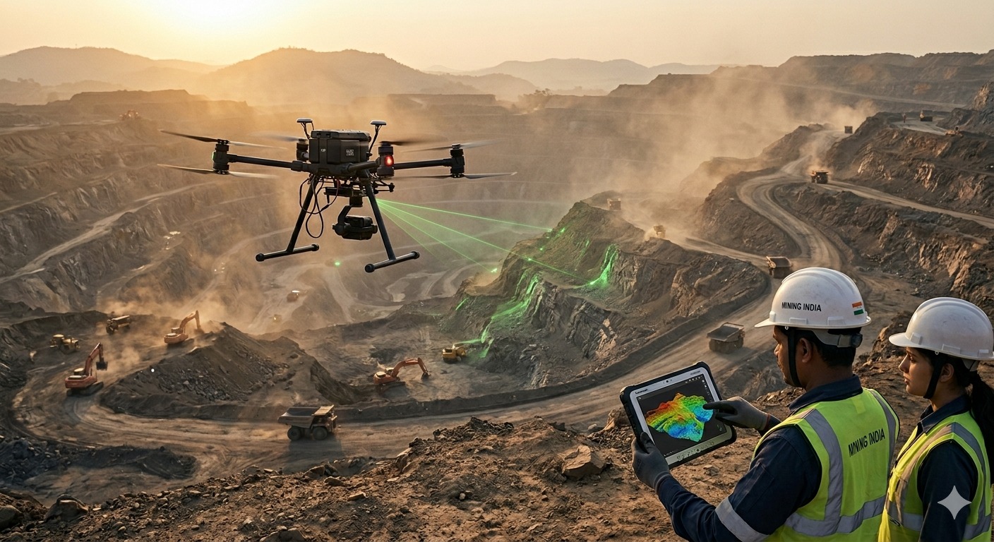
We are a team of passionate professionals with more than five years of hands-on experience. We believe UAVs bring a new perspective to businesses — fast, accurate, efficient, and cost-effective. Our drone survey solutions help you make better decisions with high-resolution aerial data, reaching complex and hard-to-access locations that conventional methods can't.
What We Do
A Wide Spectrum of Survey Services
Photogrammetric Survey
High-resolution aerial mapping for terrain and infrastructure.
Aerial LiDAR Survey
Dense point cloud data for precision 3D terrain models.
Geophysical Survey
Subsurface profiling, ERT, TEM, magnetic and seismic surveys.
GIS & Topographic Mapping
Detailed geographic data for planning and analysis.
Drone Monitoring
Powerline, pipeline, bridge, and industrial inspections.
BIM Modeling
3D building information models for smart city and construction.
Agriculture Survey
Crop health, irrigation monitoring, and AI-based detection.
Solar & Environmental
Thermal inspections, forest surveys, and disaster management.
Why Garud
What Makes Us Different
UAV Expertise
Our skilled pilots and GIS professionals bring over five years of field experience across India's most demanding terrains.
Data Compatibility
We deliver outputs in formats compatible with all major platforms — from AutoCAD to GIS and engineering software.
End-to-End Delivery
From flight planning to final data processing and reporting — we manage every step with rigorous QA/QC.
Access Anywhere
We reach complex and hard-to-access locations that conventional methods simply cannot — faster and at lower cost.
Catalyst for Change
We are not just a service provider. We are redefining how India surveys, maps, and understands its land and infrastructure.
Trusted by Industry
500+ projects completed across mining, agriculture, construction, solar, and government sectors across India.
Our Clients
Trusted by Industry Leaders
From public sector enterprises to leading manufacturers — organizations across India rely on Garud Survey for precision aerial and geophysical data.