Surface Hydrology Analysis
Surface Hydrology Analysis
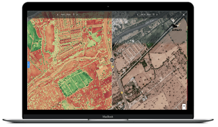
Surface Hydrology Analysis involves studying drainage systems, runoff patterns, watershed characteristics, flood behavior, and surface water flow using terrain and hydrological data.
These studies support flood risk assessment, drainage planning, watershed management, and infrastructure development projects requiring accurate hydrological analysis.
Applications :-
Watershed Planning
Flood Risk Analysis
Drainage Design
Key Deliverables
• Watershed & Drainage Analysis Maps
• Hydrological Modeling Report
• Rainfall & Flow Analysis Data
• Runoff Estimation Report
Accuracy & Data Quality
-
Surface Hydrology Analysis delivers highly reliable predictive results, depending on input data quality and resolution.
- Accuracy depends on DEM resolution and rainfall data quality
- High-resolution terrain models improve flow prediction accuracy
- Reliable identification of drainage paths and accumulation zones
-
Best results achieved when integrated with LiDAR and rainfall datasets