Photogrammetric Drone Survey
Photogrammetric Drone Survey
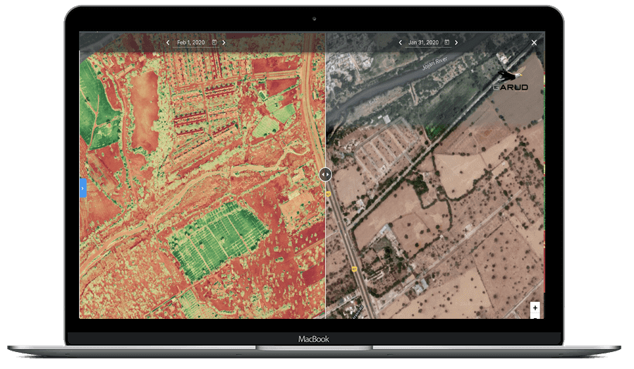
Photogrammetric Drone Survey is an advanced UAV mapping technology used for generating high-accuracy orthomosaic maps, contour data, DSM/DTM models, point clouds, and 3D terrain outputs using high-resolution aerial imagery. Drone surveys provide faster execution, improved site safety, reduced manpower dependency, and highly accurate geospatial data compared to conventional survey methods.
These services are widely used in mining, highways, railways, infrastructure, solar plants, smart cities, industrial corridors, and land development projects. Our drone survey operations are conducted using DGPS-supported ground control and advanced photogrammetry software for reliable and accurate project deliverables.
Daily Coverage Capacity
Corridor Survey: 5–15 KM/day
Topographic Survey: 200–500 Hectares/day
Large Area Mapping: Up to 2000+ Hectares/day
Key Deliverables
• High Resolution Orthomosaic Maps
• Contour Maps & Topographic Maps
• Digital Elevation Model (DSM/DTM)
• 3D Point Cloud
Accuracy & Data Quality
-
Photogrammetry delivers high-precision results, especially when supported with Ground Control Points (GCPs).
- Horizontal accuracy: ±2–5 cm
- Vertical accuracy: ±15–20 cm
- High-resolution orthomosaics (cm-level detail)
- Georeferenced outputs for GIS and CAD integration