Aerial LiDAR Survey
Aerial LiDAR Survey
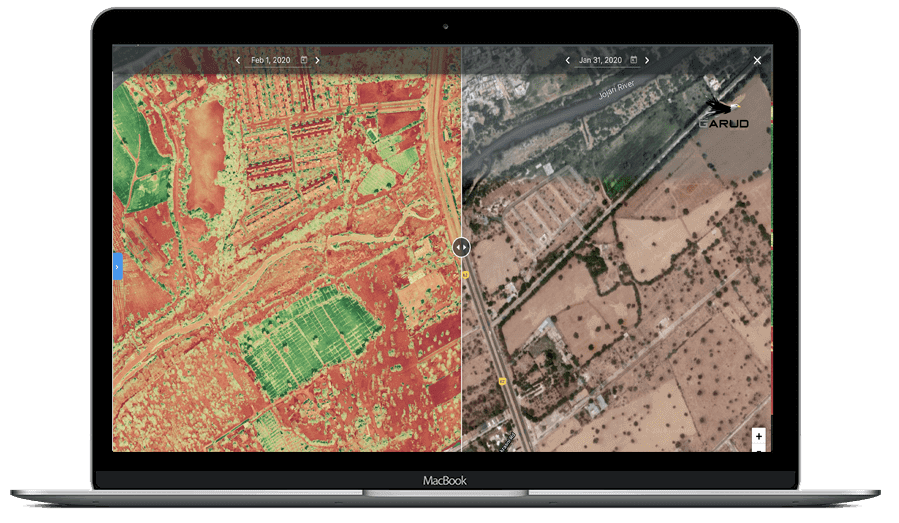
Aerial LiDAR Survey is a high-precision laser scanning technology used to capture accurate terrain and elevation data through UAV-mounted LiDAR sensors. LiDAR surveys are highly effective in dense vegetation and difficult terrain conditions where conventional photogrammetry has limitations.
Our LiDAR mapping services provide highly accurate point cloud data, contour models, DEM/DTM outputs, and corridor mapping solutions for mining, transmission lines, highways, railways, forestry, and infrastructure projects. The technology enables faster data acquisition with improved vertical accuracy and detailed terrain analysis.
Daily Coverage Capacity
Corridor Mapping: 10–25 KM/day
Large Area Survey: 500–3000 Hectares/day
Key Deliverables
• Digital Elevation Model (DSM/DTM)
• Classified LiDAR Point Cloud
• 3D Terrain Visualization
• Contour Map
Accuracy & Technology
-
LiDAR surveys deliver exceptional accuracy and detail, making them suitable for high-precision applications.
- Vertical accuracy: ±3–5 cm
- High-density point clouds (millions of points per survey)
- Multiple return capability (captures ground + vegetation layers)
- GPS/IMU integration for georeferenced data