Case Studies
Real Projects. Measurable Impact.
A look at how our drone survey and geophysical solutions have solved real problems for clients across mining, infrastructure, and energy sectors.
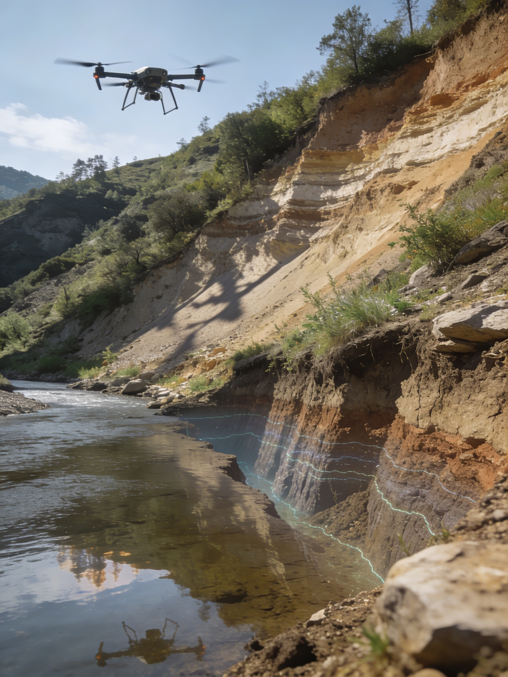 Mining
Minerva Mining Corp.
Volumetric Survey Across Rajasthan's Mineral Belt
Aerial LiDAR and photogrammetric mapping across 6 active quarry sites, replacing slow manual survey cycles with weekly drone flights and automated volumetric reporting.
Read Case Study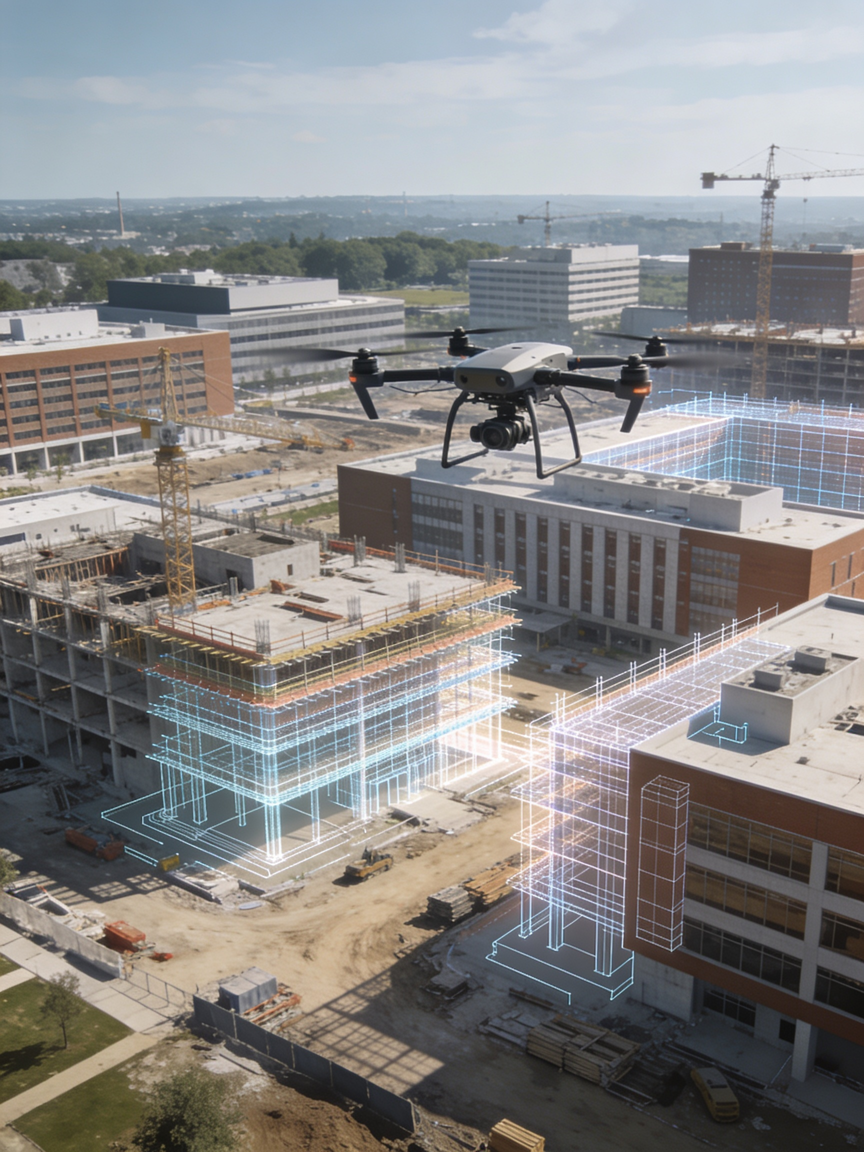 Infrastructure
NHAI Project Partner
BIM-Integrated Highway Corridor Mapping
End-to-end photogrammetric survey and BIM modeling for an 85km highway widening project, enabling clash detection and accurate earthwork estimation before construction began.
Read Case Study Energy
Suryoday Solar Park
Thermal Inspection of a 200MW Solar Park
High-resolution thermal drone inspection across a 200MW solar installation, identifying underperforming panels and hotspot defects months ahead of the client's manual inspection schedule.
Read Case Study Urban Planning
Municipal Smart City Cell
Digital Twin Mapping for Smart City Planning
A city-wide photogrammetric capture used to build a centimeter-accurate 3D digital twin, supporting traffic planning, drainage analysis, and future infrastructure decisions.
Read Case Study