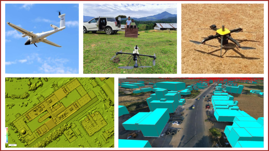
Drone Mapping in India: Advanced Geospatial Solutions by Garud Survey Private Limited
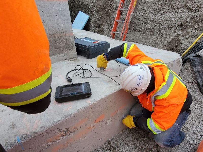
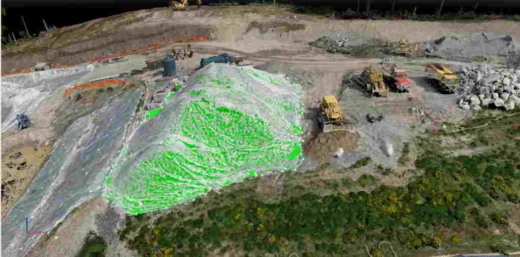
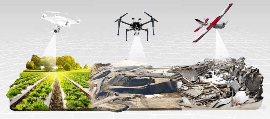
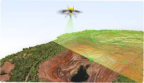
The adoption of drone technology has transformed the way mapping and surveying are carried out across the country. Drone mapping in India is now a preferred solution for infrastructure development, mining, urban planning, and renewable energy projects due to its speed, accuracy, and cost efficiency. By capturing high-resolution aerial data, drone mapping delivers precise geospatial […]
Drone Mapping in India: Advanced Geospatial Solutions by Garud Survey Private Limited Read More »