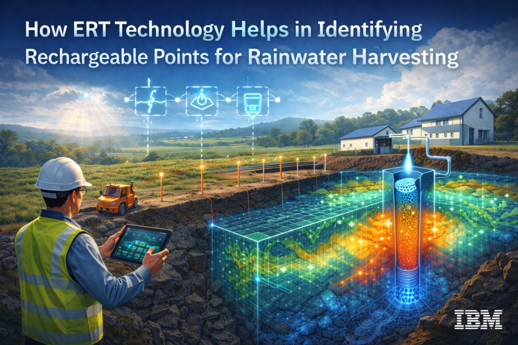
How ERT Technology Helps in Identifying Rechargeable Points for Rainwater Harvesting
Water scarcity has become one of the biggest challenges in India due to rapid urbanization, groundwater depletion, and irregular rainfall patterns. Rainwater harvesting is one of the most effective solutions to restore groundwater levels, but its success depends on identifying the right rechargeable points beneath the surface. This is where ERT (Electrical Resistivity Tomography) technology […]
How ERT Technology Helps in Identifying Rechargeable Points for Rainwater Harvesting Read More »