Can DJI Drones Be Used for Survey and Mapping in India?
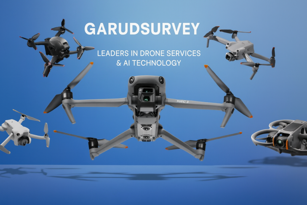
The demand for drone-based surveying and mapping has increased rapidly in India. From infrastructure development to land records modernization, accurate aerial data is now essential. DJI drones are among the most popular globally—but the question many clients and surveyors ask is: Can DJI drones be used for survey and mapping in India? The short answer
Can DJI Drones Be Used for Survey and Mapping in India? Read More »