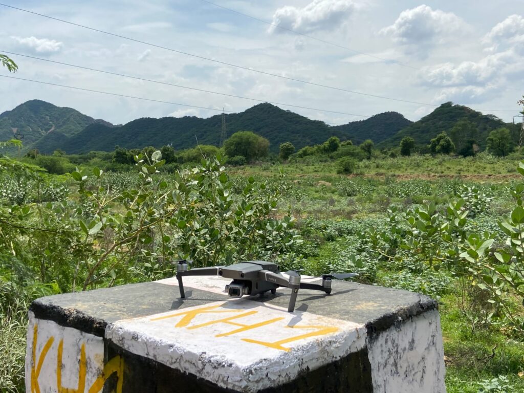
Unlocking the Power of Drone Magnetic Survey: A Game-Changer in Geophysical Exploration
In the realm of geophysical exploration, the integration of cutting-edge technology has been nothing short of revolutionary. One such innovation, the utilization of drone magnetic survey, has emerged as a transformative tool in mapping subsurface structures and uncovering valuable insights about the Earth’s composition. This breakthrough technology is reshaping the landscape of geophysical exploration, offering […]
Unlocking the Power of Drone Magnetic Survey: A Game-Changer in Geophysical Exploration Read More »