The Growing Importance of LiDAR Survey in India for Accurate Land Mapping
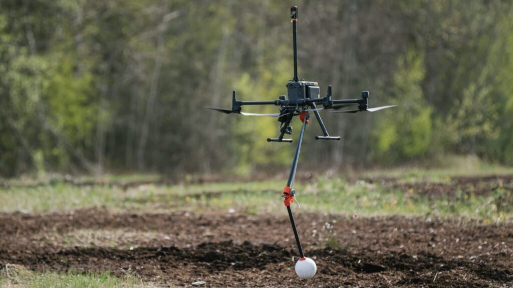
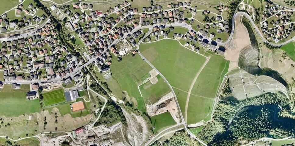
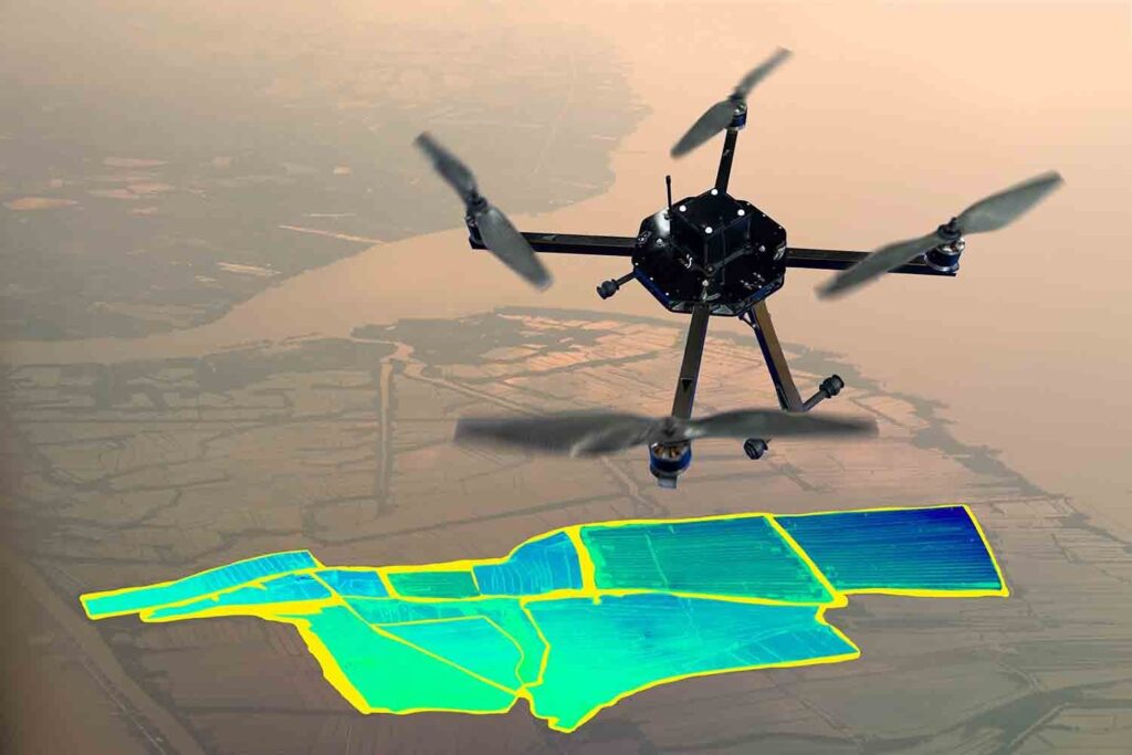
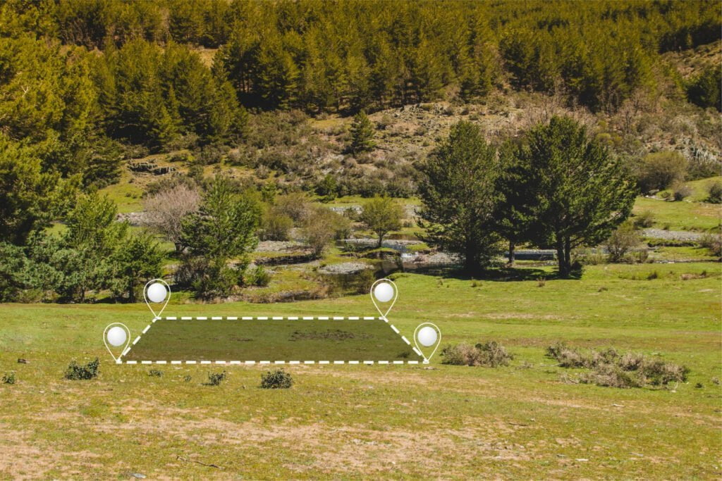
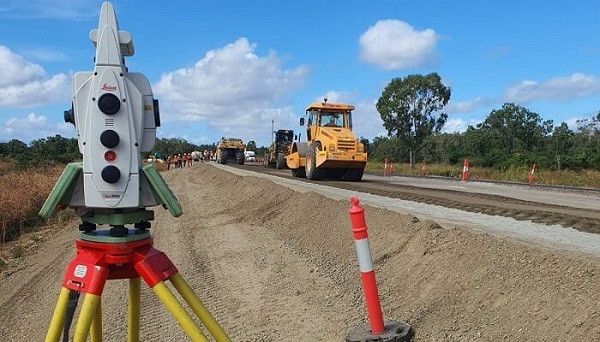
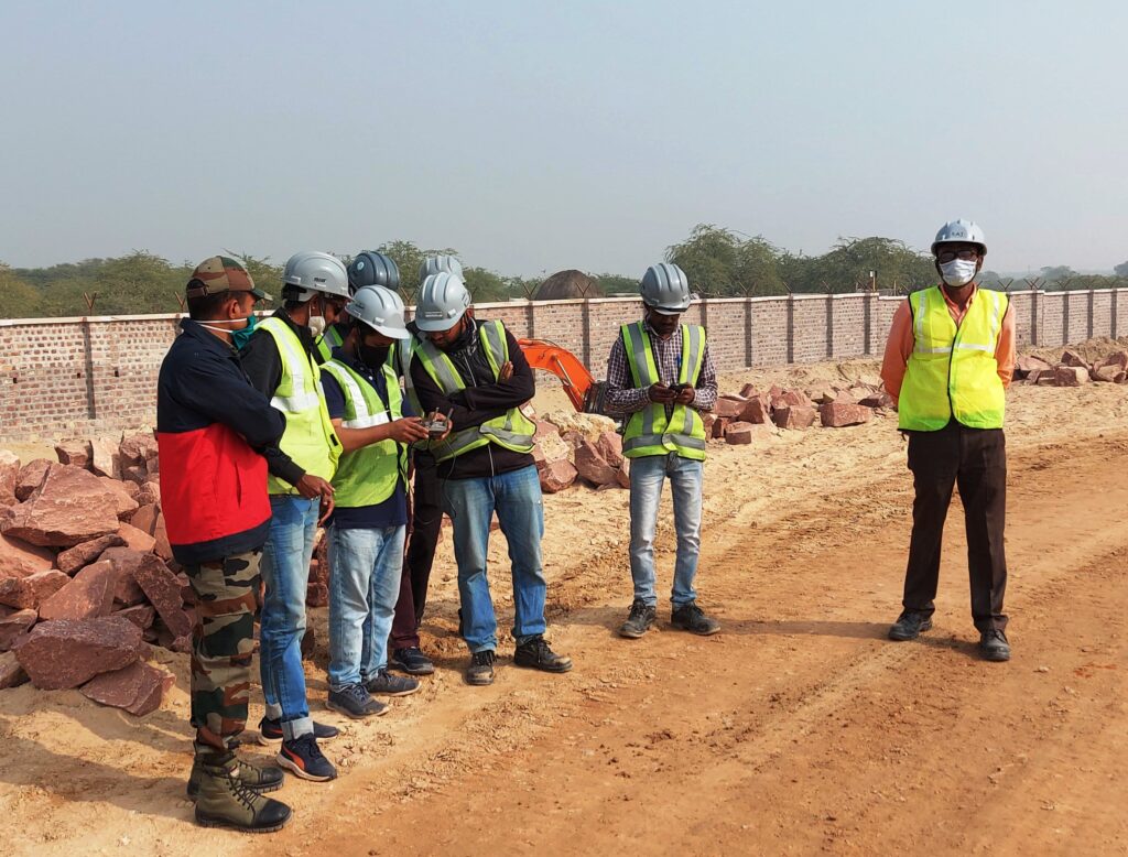
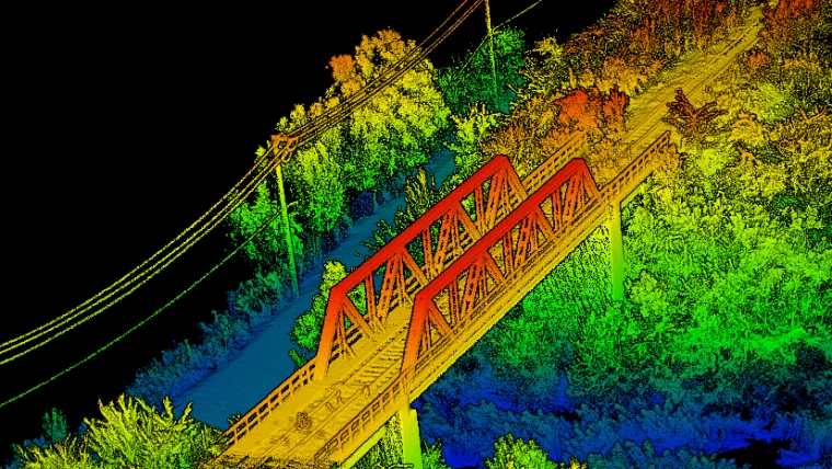
Introduction In recent years, LiDAR (Light Detection and Ranging) Survey in India has gained significant traction due to its precision and efficiency in land mapping, urban planning, and infrastructure development. As a cutting-edge remote sensing technology, LiDAR provides high-resolution 3D data, making it indispensable for various industries. Garud Survey, a leading surveying company in India, leverages advanced LiDAR […]
The Growing Importance of LiDAR Survey in India for Accurate Land Mapping Read More »