The Future of Precision: The Comprehensive Guide to Drone Mapping Services
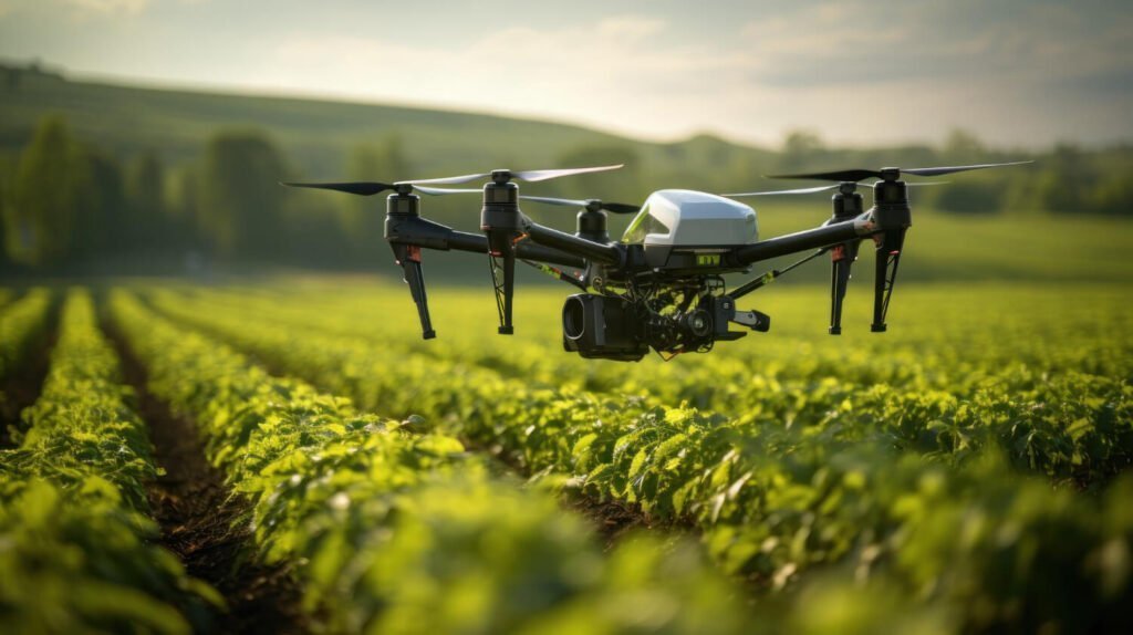
In the ever-evolving landscape of technological advancement, drone mapping services are revolutionizing industries by offering unprecedented accuracy and efficiency in data collection. From agricultural management to construction, and environmental monitoring to real estate, drone technology is providing innovative solutions that redefine traditional practices. This detailed guide explores the multifaceted benefits and applications of drone mapping, […]
The Future of Precision: The Comprehensive Guide to Drone Mapping Services Read More »