The Top Benefits of Utilizing Drone Survey Technology for Your Business Operations with Garud Survey
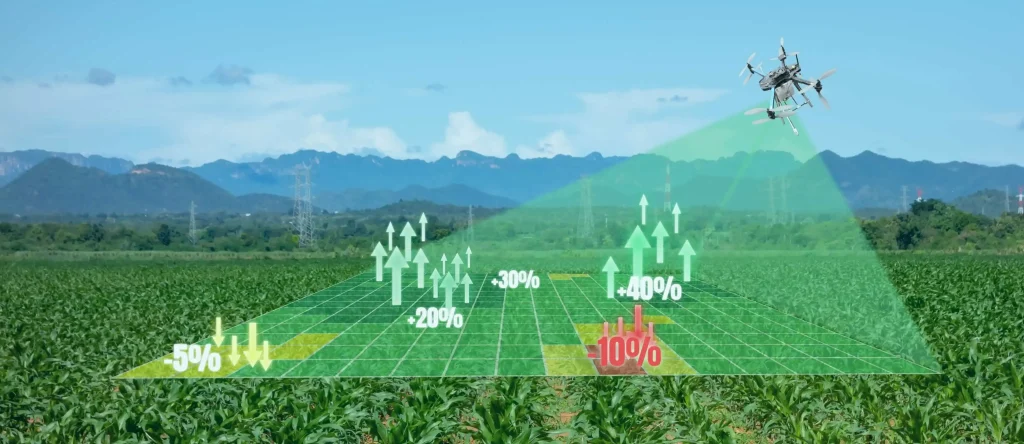
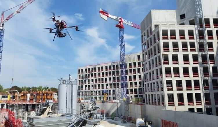
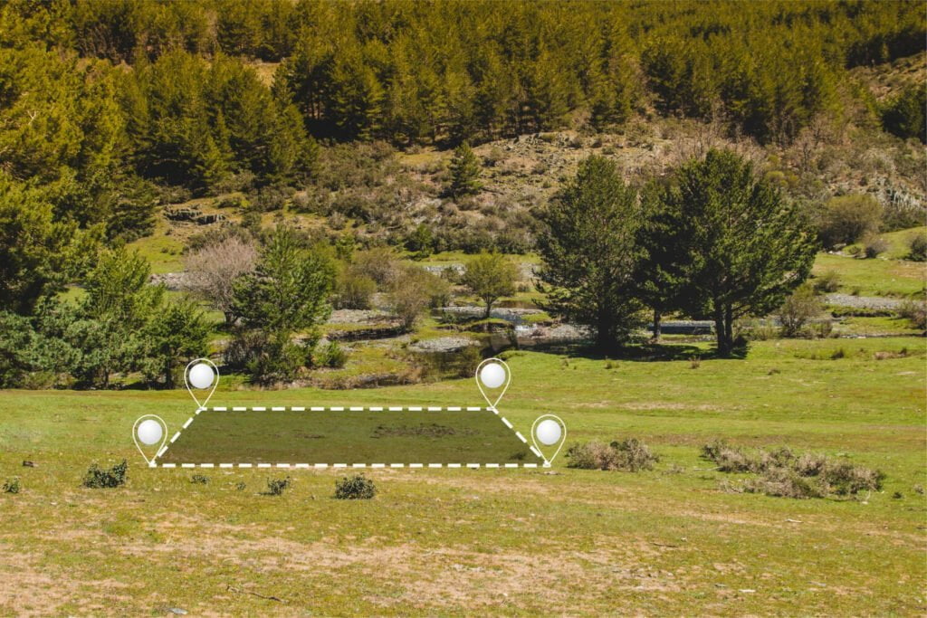
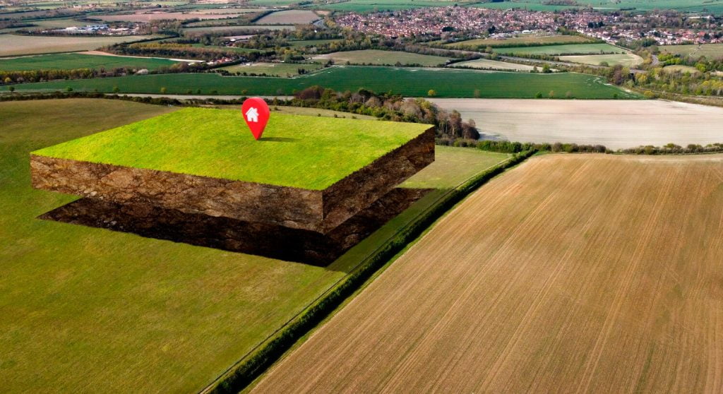
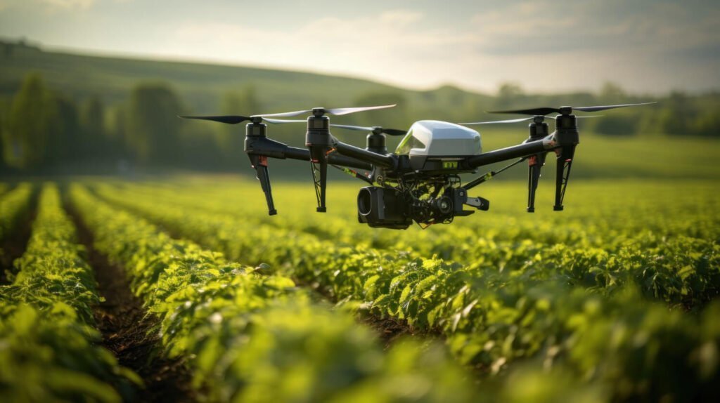
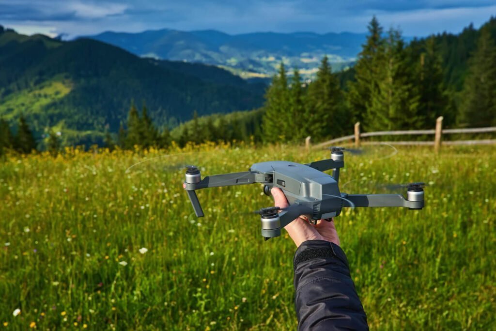
In today’s fast-paced business environment, companies are constantly searching for ways to improve efficiency, reduce costs, and gain a competitive edge. One emerging technology that is revolutionizing industries across the board is drone survey benefits. By leveraging drones for various surveying tasks, businesses can unlock a myriad of benefits that were previously unattainable. In this […]